
Field Note 001 / Mauritania
The iron ore railway
A westbound passage from Choum to Nouadhibou
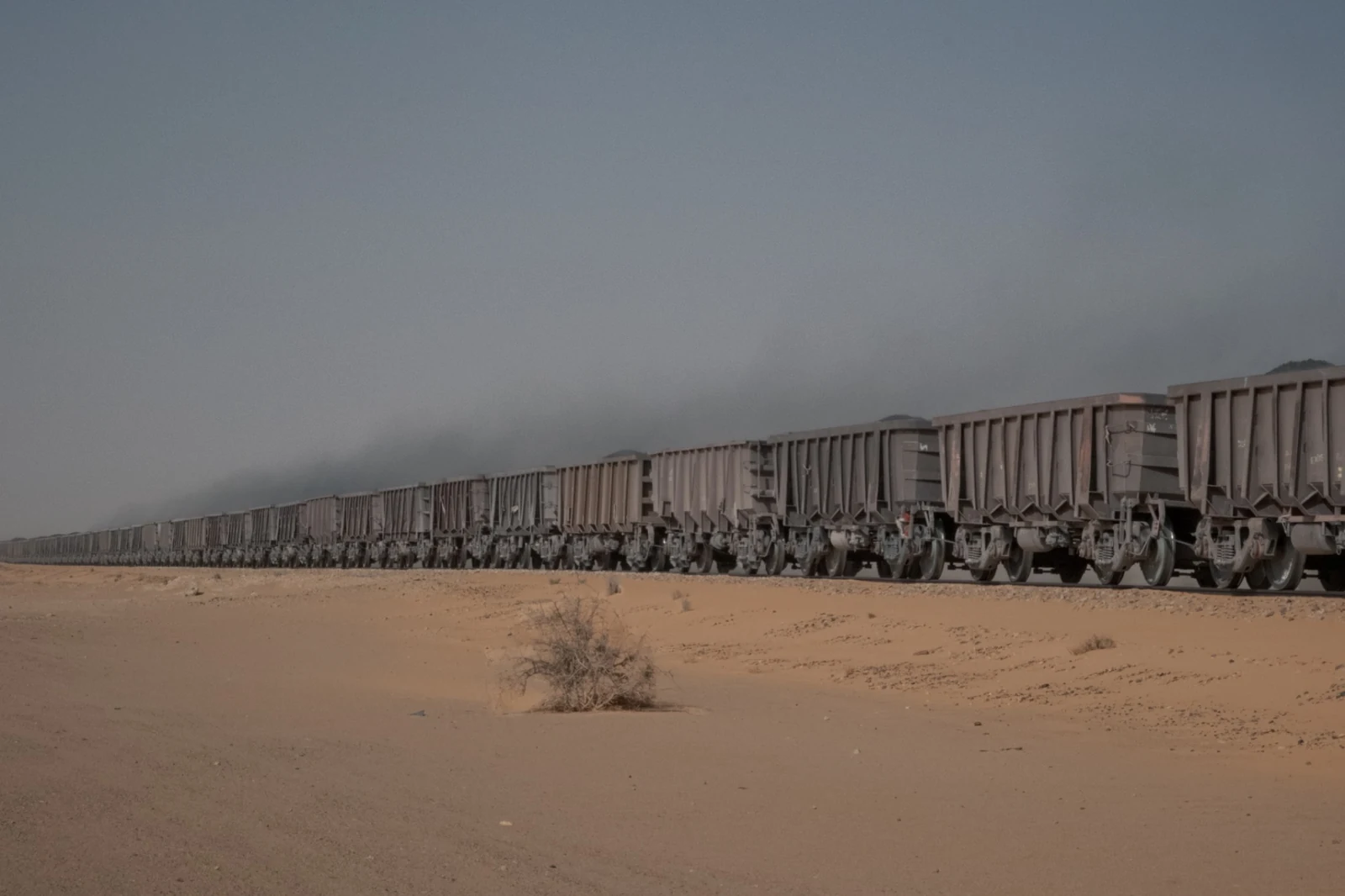
On 9 October 2025, I joined a westbound iron-ore train at Choum and travelled towards Nouadhibou in an open wagon.
The railway connects the mining region around Zouérat with the Atlantic coast, crossing more than seven hundred kilometres of northern Mauritania. Built to move iron ore, it has become one of the defining lines through this part of the country.
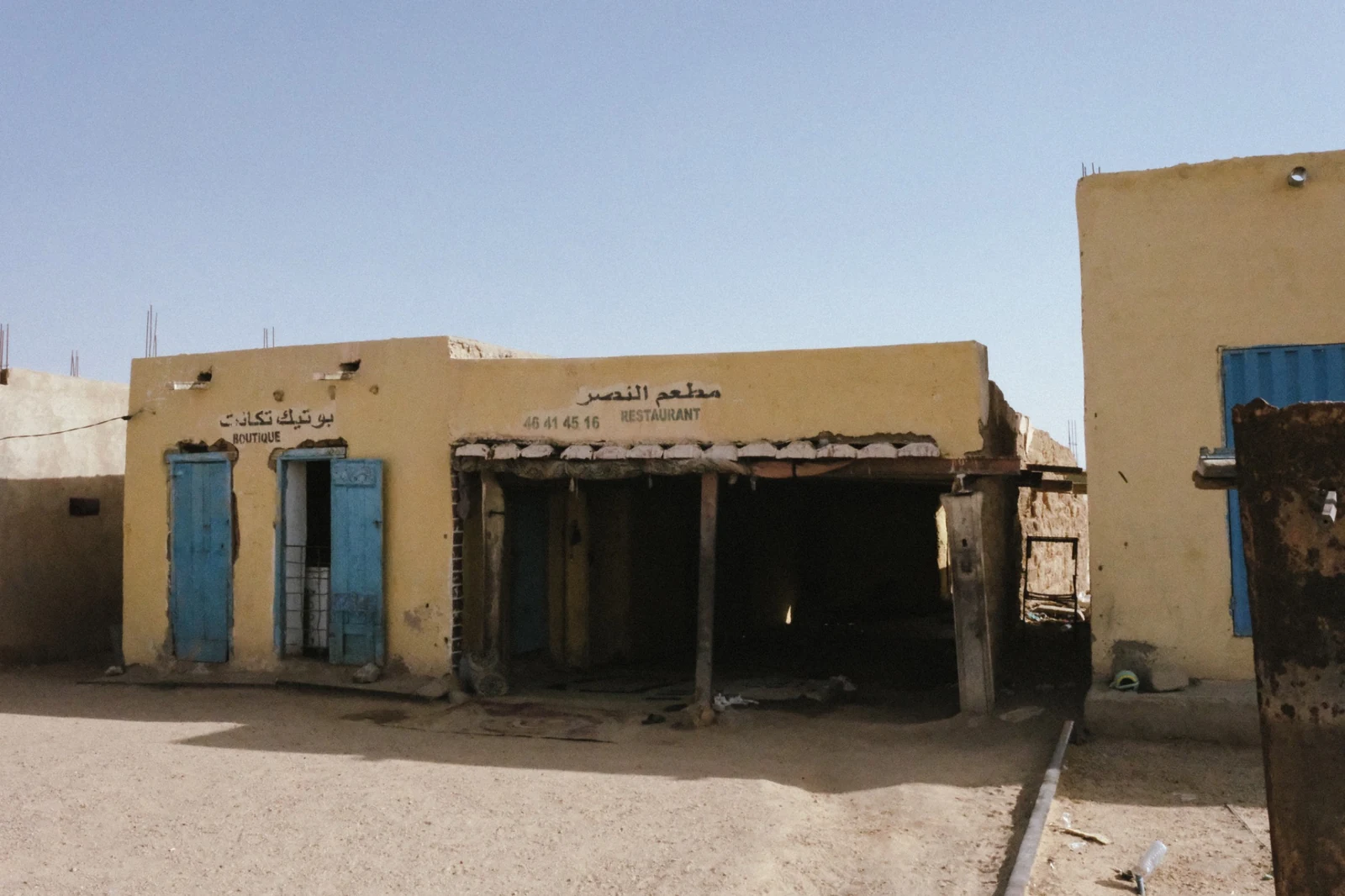
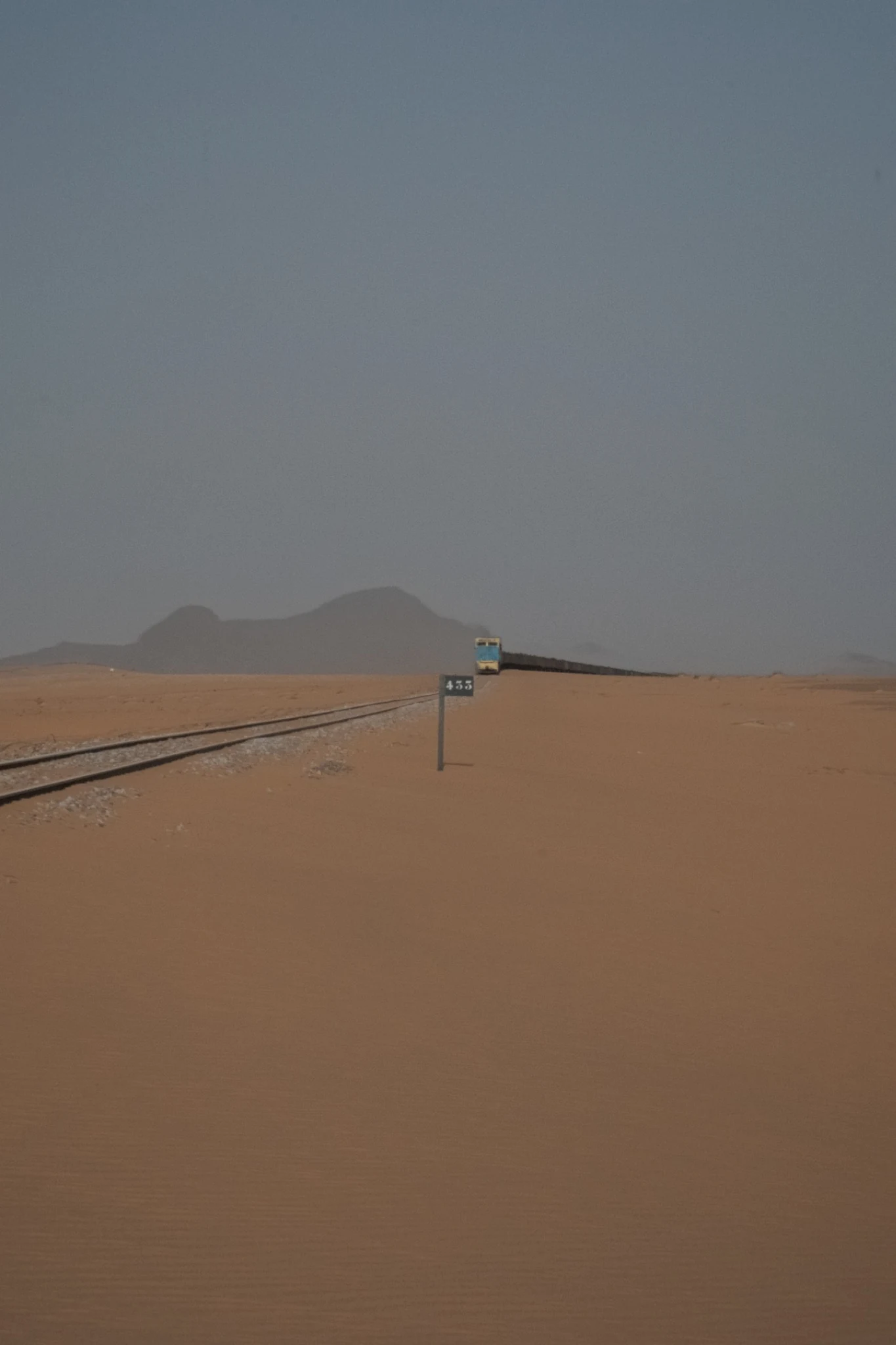
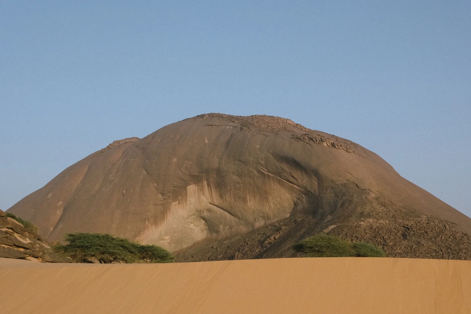
From the wagon, the landscape unfolded in a continuous sequence of steel, sand, exposed rock and scattered settlements. These photographs follow one passage along the line. They do not attempt to describe the railway in its entirety, but record how its scale and purpose become visible from within.
The railway to the coast
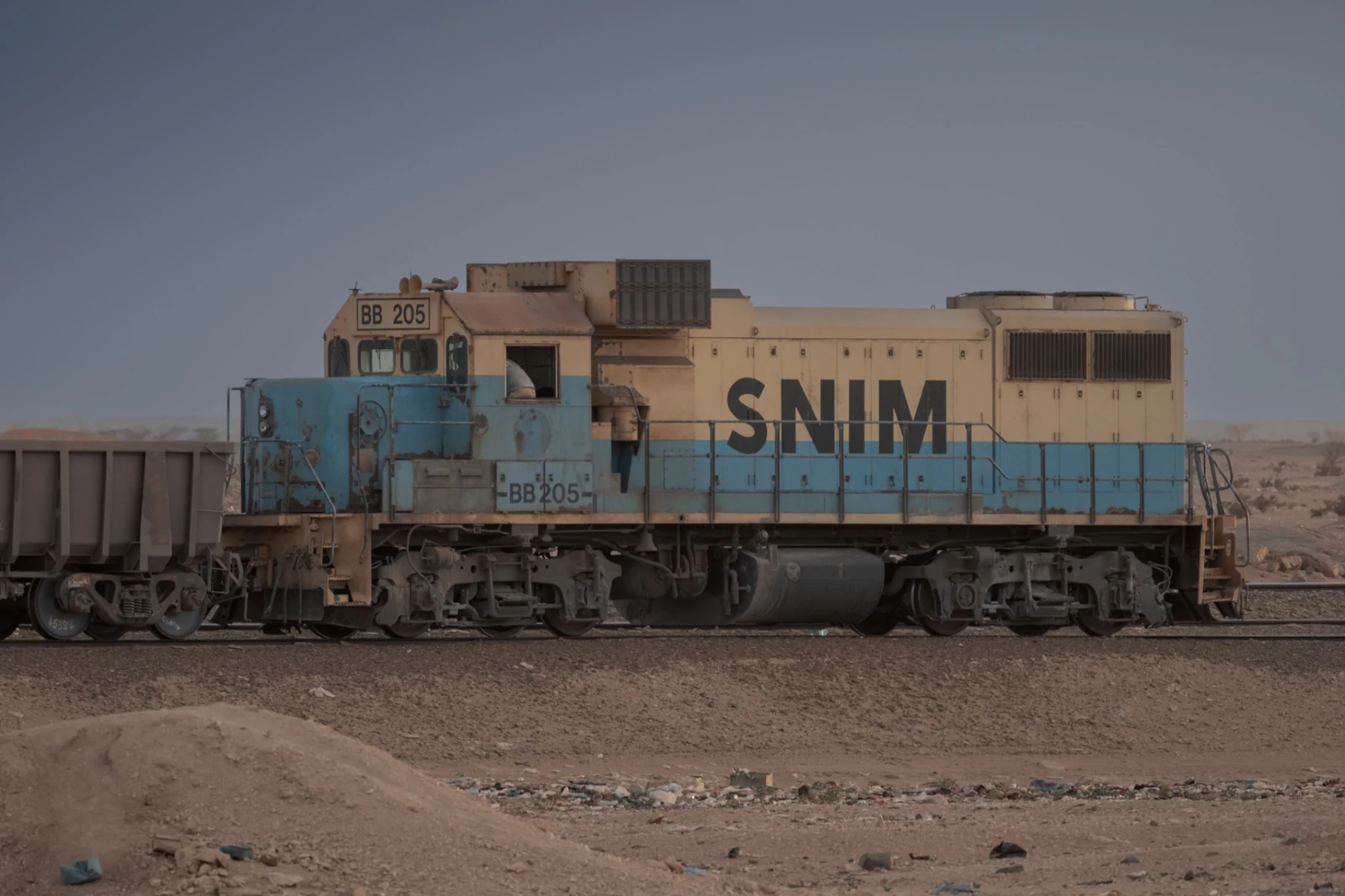
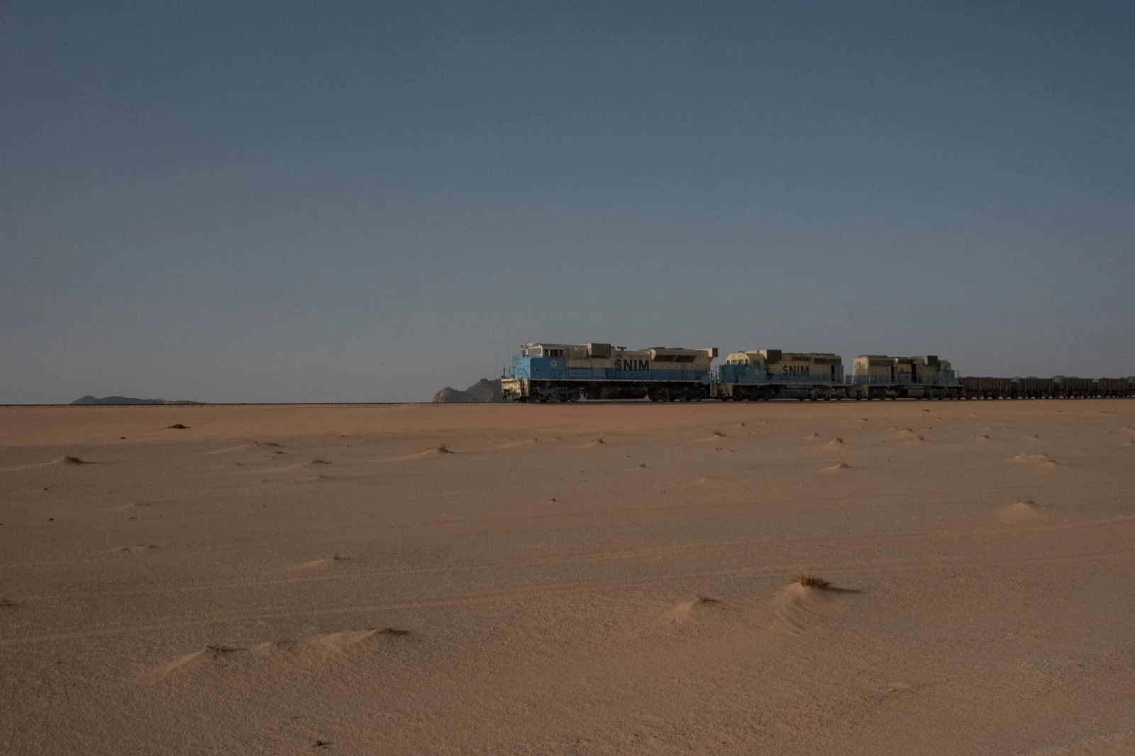
The railway is owned and operated by Société Nationale Industrielle et Minière, commonly known as SNIM. Loaded trains travel west from the mining area around Zouérat to the mineral port at Nouadhibou; empty wagons make the return journey inland.
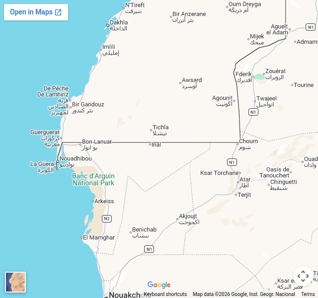
For most of its route, the track occupies only a narrow strip of ground within an immense landscape. Yet the line connects mines, settlements and the coast across distances that would otherwise remain difficult to traverse. This record begins at Choum, where the railway passes close to the town before continuing west.
This Field Note documents neither the mines nor the loading of the ore. Its subject is the journey between the interior and the Atlantic, observed from beside the track and from within a loaded train. The map provides orientation rather than a continuous GPS trace.
- Place
- Northern Mauritania
- Segment
- Choum–Nouadhibou
- Field dates
- 9–10 October 2025
- Direction
- Westbound
- Position
- Open wagon loaded with iron ore
- Media
- Photography and field notes
Steel and stone
Along the train
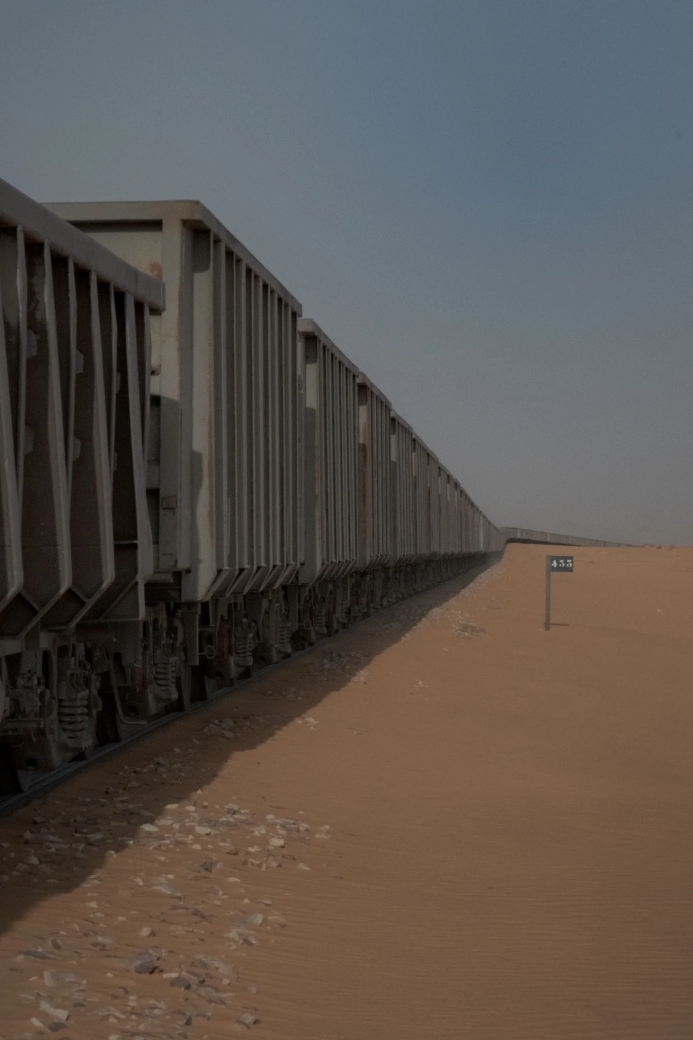
A single passage
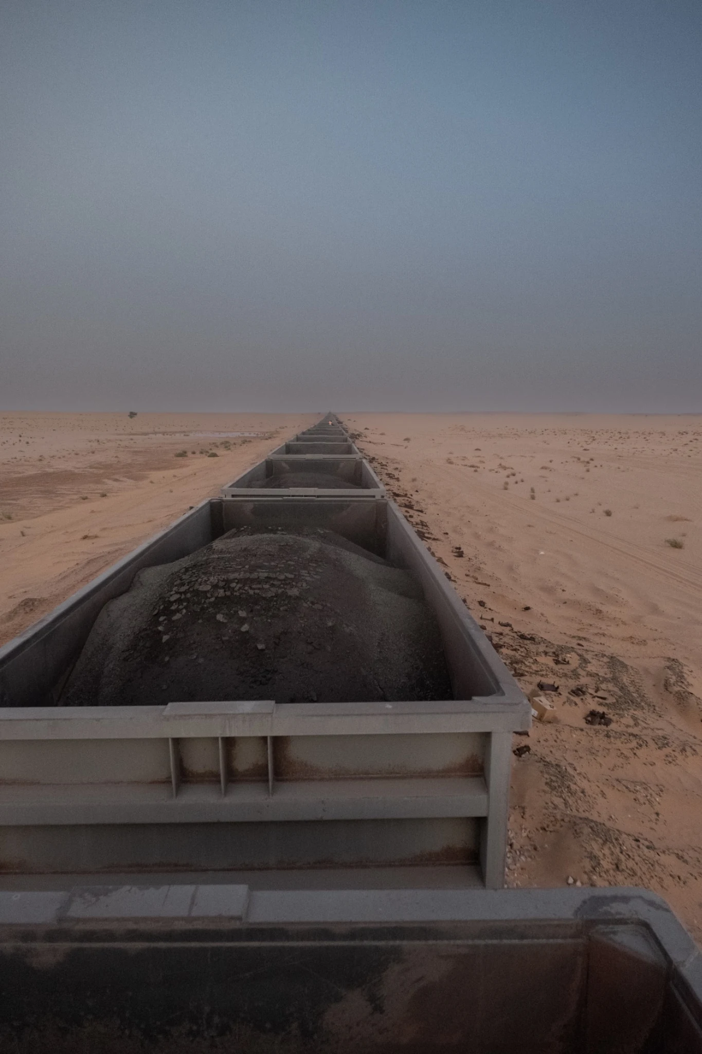
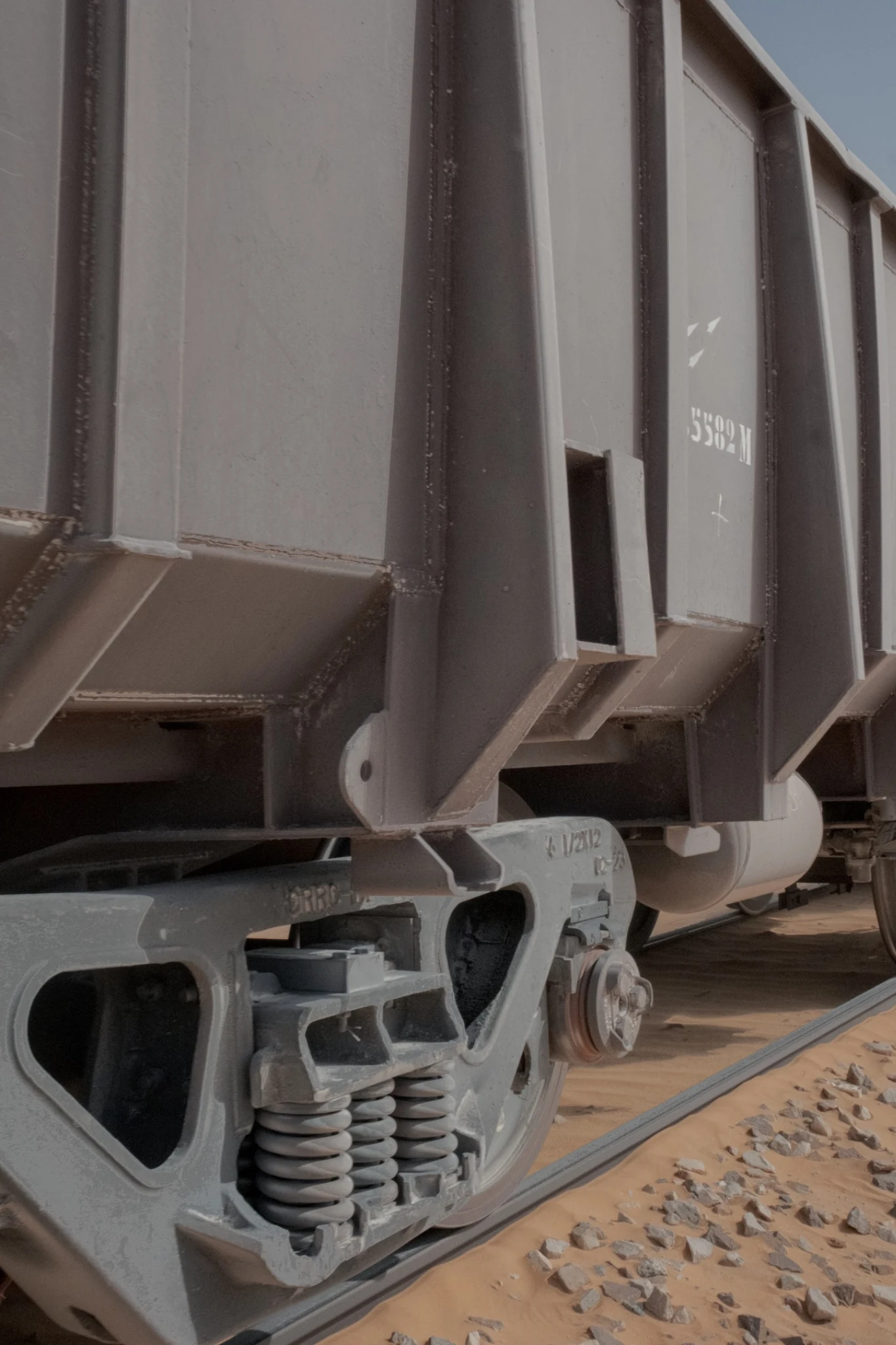
These photographs describe the railway through the relationship between infrastructure and landscape. Seen from the wagon, the train is not an isolated spectacle. Its scale emerges gradually: in the repetition of the wagons, the weight of their load, the settlements beside the track and the distances crossed before reaching the coast.
Scope and limits
The record follows one westbound journey made on 9 and 10 October 2025. It does not document the mines, the port operations, the people employed along the railway or the experiences of other travellers. It records what could be seen from one position, during one passage across northern Mauritania.
Photography and field notes
Tommaso Bruno
Northern Mauritania, 9–10 October 2025.
© 2026 Tommaso Bruno. All rights reserved.
Sources
Institutional context
- SNIM — About us
- EITI — Mauritania country profile
- European Investment Bank — Mauritania Railway Modernisation
Accessed 8 September 2026. Map from Google Maps, captured 10 September 2026.