
Field Note 004 / Lake Natron, Tanzania
Lake Natron
Water, salt and the living shore
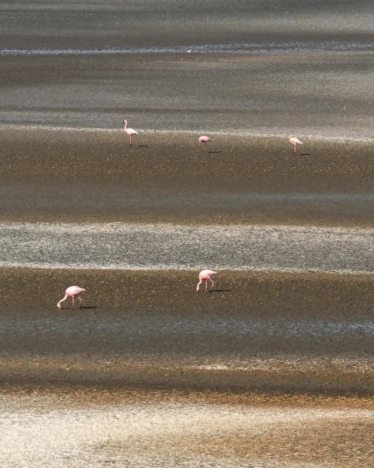
Lake Natron occupies a shallow basin in the East African Rift, close to Tanzania’s border with Kenya. Here, the shape of the land and the chemistry of the water are inseparable. Volcanic terrain supplies minerals; an arid climate concentrates them. The lake changes with the balance between incoming water and evaporation. [1, 2]
Around it, volcanic slopes, grazing land and settlements belong to the same wider catchment. Maasai communities depend on its water and pasture, while lesser flamingos depend on the lake for breeding. Natron’s significance reaches from the mineral composition of a pool to the lives sustained across an entire basin. [3, 4]
A shore in motion
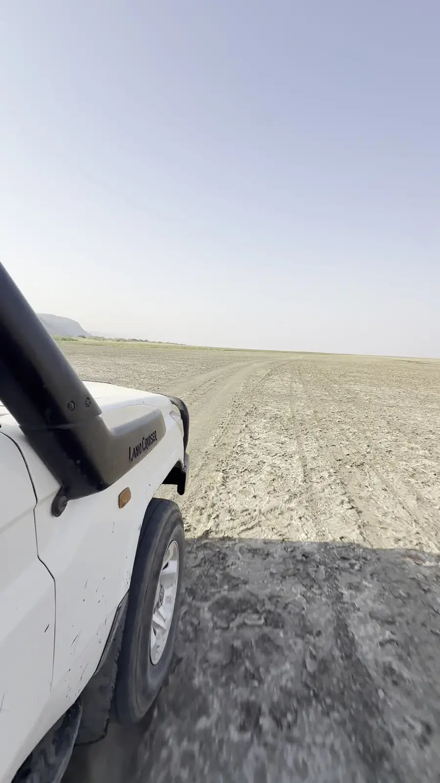
Natron is shallow enough for changes in water level to redraw much of its shoreline. As water retreats, mudflats and salt crusts emerge; renewed inflow spreads across the low basin. Its changing outline records the interaction of rainfall, river water and evaporation over time. [2]
The Ewaso Ng’iro River feeds the northern end of the lake, helping sustain it through dry periods. Mineral-rich hot springs also enter the basin. Evaporation leaves dissolved salts behind, contributing to water that is both saline and strongly alkaline. The surrounding volcanic landscape is part of this chemistry. [2]
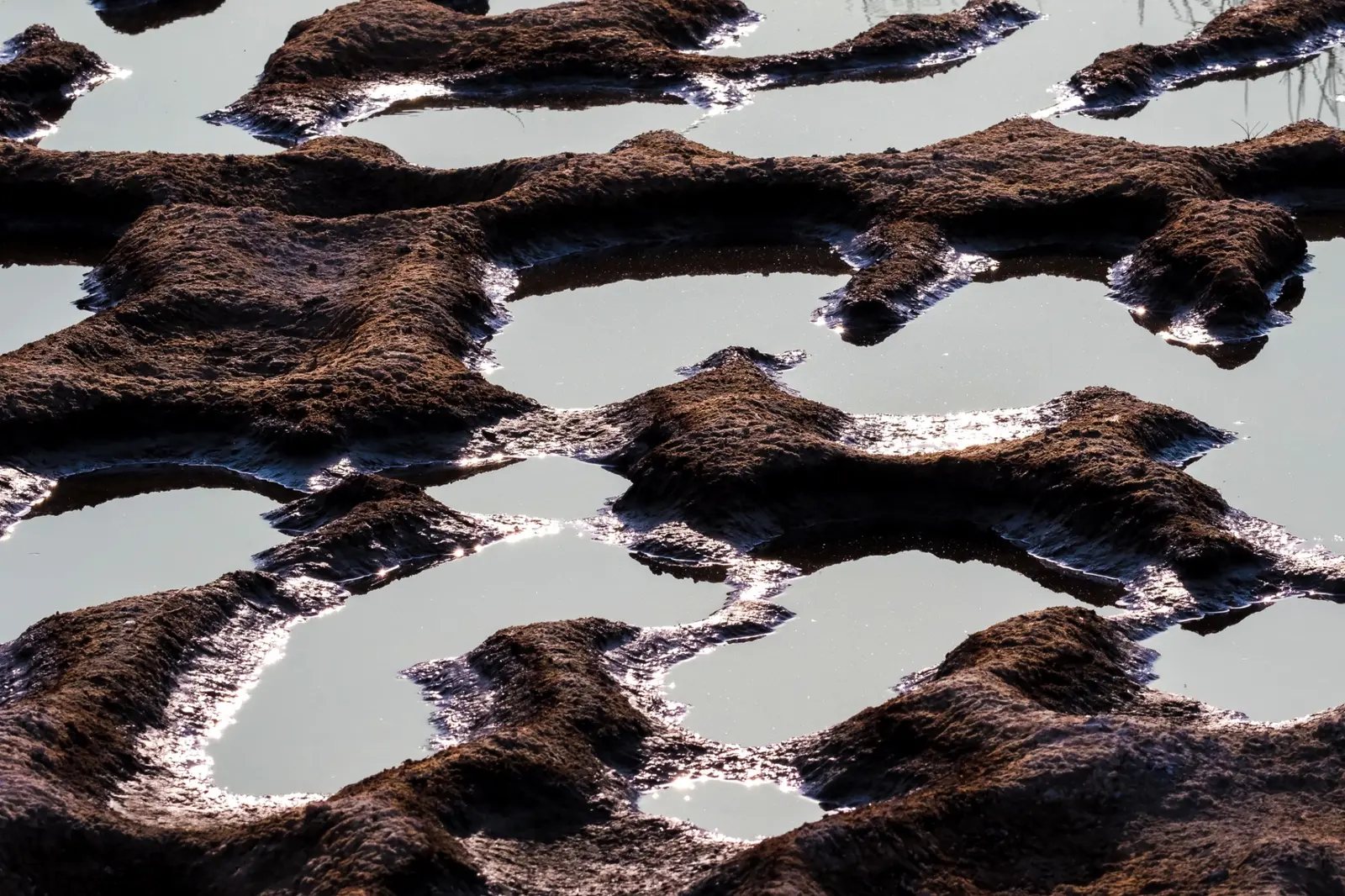
Colour changes with conditions too. In concentrated pools, salt-loving microorganisms can turn the water pink or red. Elsewhere, exposed sediments, salt and shallow water form quieter expanses of brown, grey and white. Natron has no single permanent colour: its surface responds to the water available and the organisms able to live in it. [2]
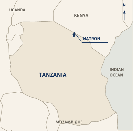
- Place
- Lake Natron, Tanzania
- Field dates
- 3–6 August 2026
- Setting
- East African Rift
- Site reference
- 02°21′S / 36°00′E [1]
- Ramsar site
- Lake Natron Basin / 1080 [1]
- Record
- Photography and writing
Birds over the shallows
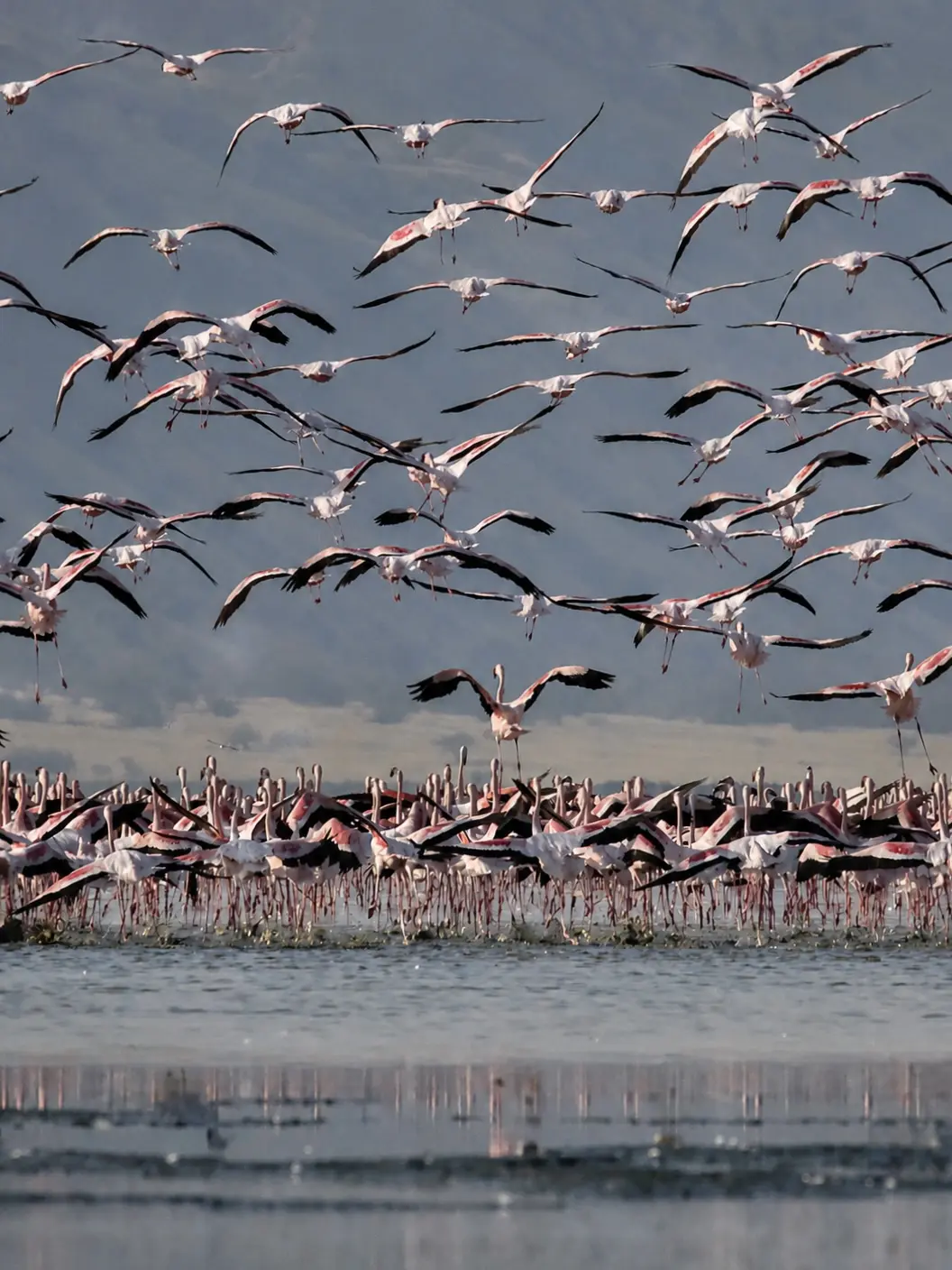
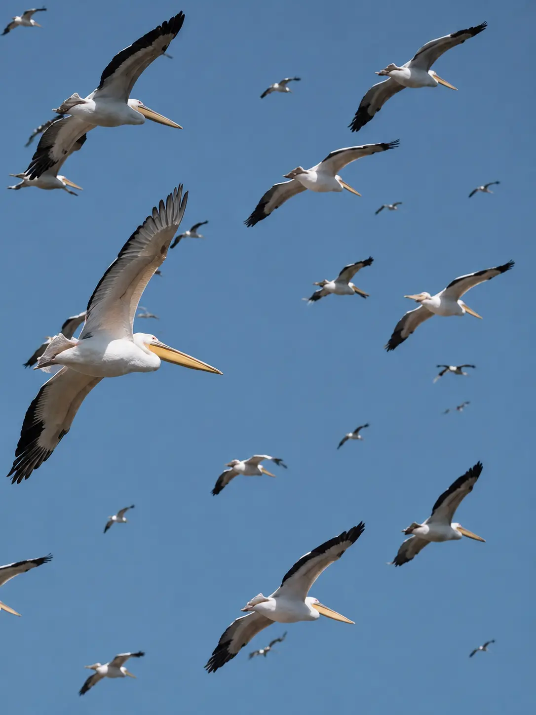
Lake Natron is East Africa’s only regular breeding site for lesser flamingos. That role gives this one basin importance far beyond its shores. Breeding depends on suitable conditions and can be skipped in an unfavourable year. A large gathering of birds is therefore only one part of a longer, less predictable cycle. [3]
As water recedes, nesting areas become available within the lake. Channels and pools around them can help keep predators away. The combination of exposed ground and surrounding water creates a refuge in an otherwise demanding environment. [2]
Maintaining that refuge requires attention to the water reaching the basin. Changes in river flow or salinity can affect the conditions on which the birds depend. Natron’s value as a breeding ground makes its hydrology a concern for the wider East African flamingo population. [3]
Beyond the waterline
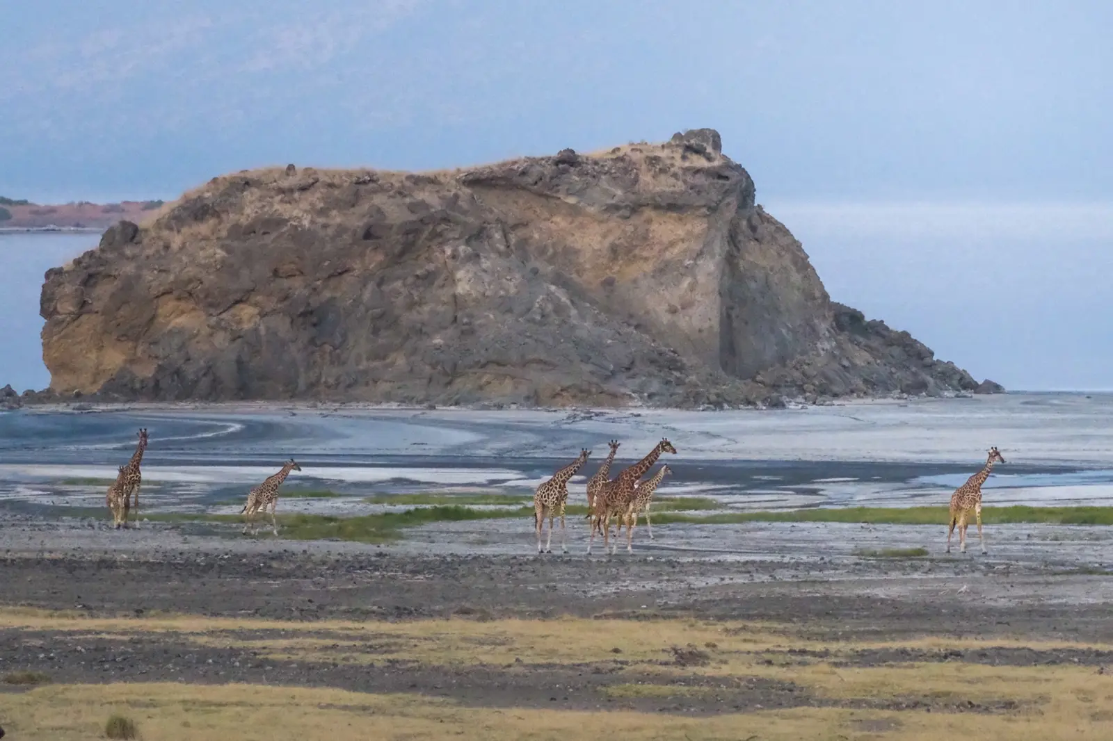
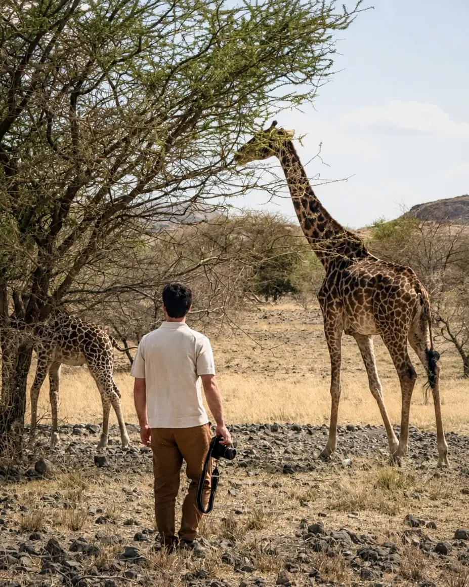
South of the lake, Ol Doinyo Lengai rises sharply above the plain. Known to the Maasai as the Mountain of God, it has an exceptional geological history: it is the only volcano known to have erupted carbonatite lavas in historical times. Their carbonate-rich composition is unusual among volcanic rocks. [6]
Gelai stands to the southeast of Natron, while fault scarps reveal the forces that have shaped the wider basin. The lake occupies part of a landscape built through both movement of the Earth’s crust and volcanic activity. Its surrounding relief helps explain why water gathers here and why the lake’s chemistry is so closely tied to the ground beneath it. [2]
Across these distances, the shore belongs to a much larger terrain. The volcanic slopes and the low basin are connected through the movement of water and dissolved minerals. [2]
An inhabited shore
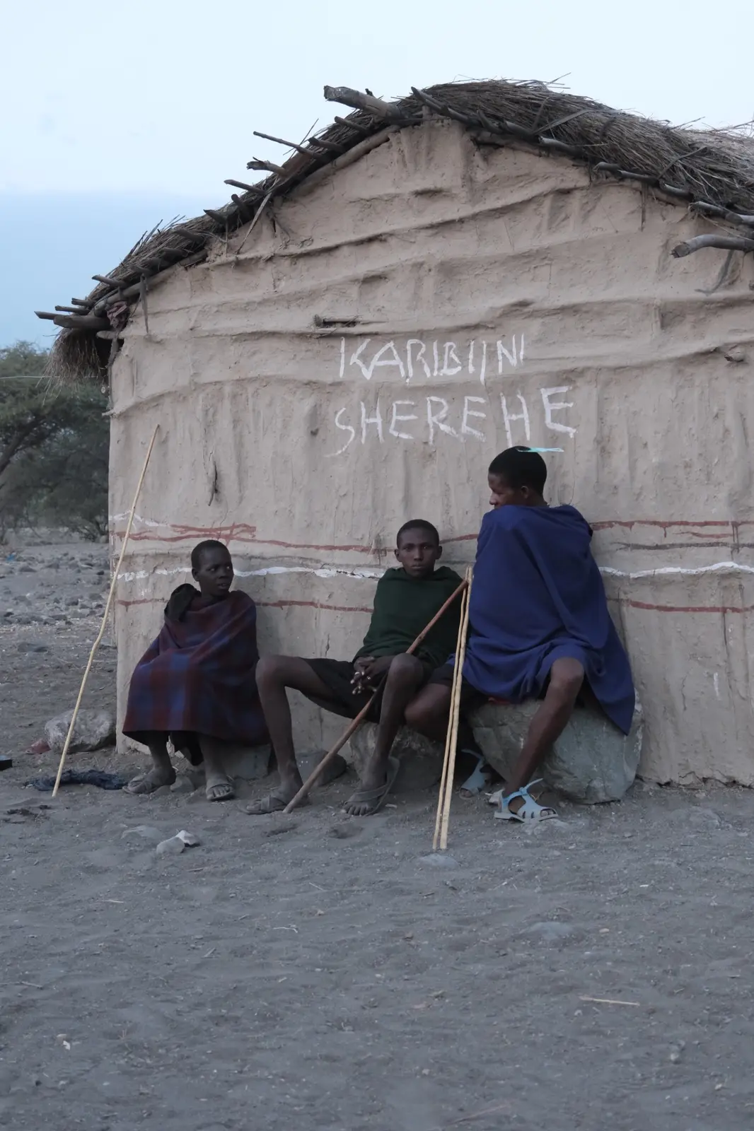
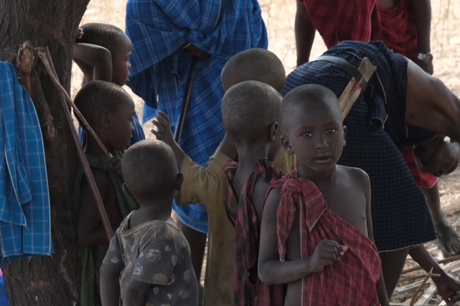
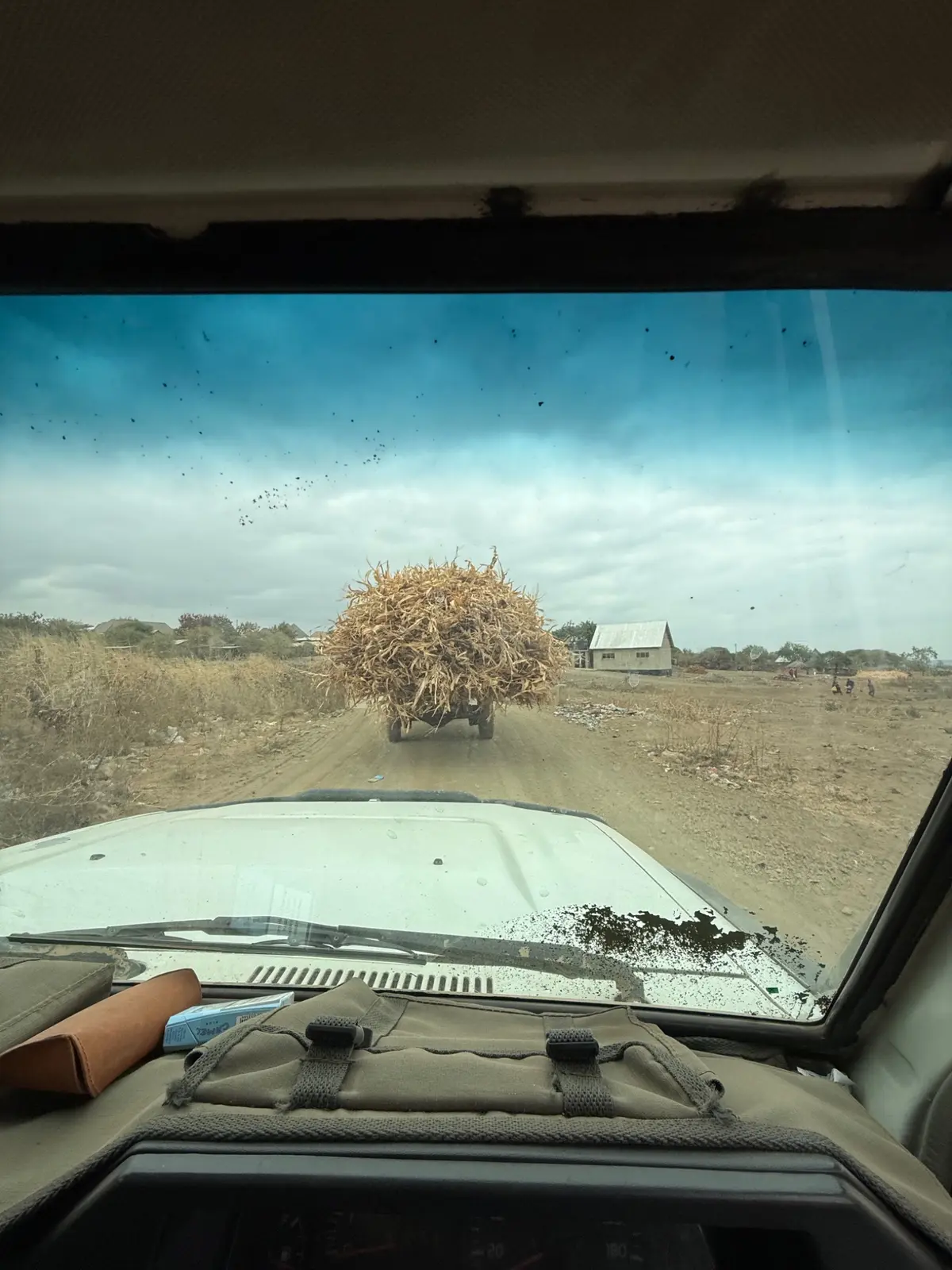
Around Engaresero, land use follows the availability of water and pasture. Maasai grazing calendars and local knowledge help manage resources shared by livestock and wildlife. Mobility is part of that relationship: some households remain settled, while others move with the demands of pastoral life. [4]
Tourism is another source of livelihood. Community initiatives connect conservation with income from camps and visitors, and with services such as schools and water provision. The same territory contains homes, grazing areas, spiritual places and routes used by animals. Decisions about one use can reach into the others. [4]
This makes the inhabited landscape central to Natron’s future. Understanding the basin means attending to the knowledge, work and priorities of the people who live here, alongside the ecology of the lake. Their relationship with the land is part of what has sustained it. [4]

One connected landscape
Natron’s future depends on relationships that extend beyond the visible shore. Water entering the basin influences the salinity and nesting conditions that make it important to flamingos. Changes elsewhere in the catchment can therefore reach the lake itself. [3]
Seen together, these connections suggest a broader way to understand the place. The lake, volcanic terrain and inhabited surroundings form one landscape. Its continuity depends on allowing water, wildlife and the people who use the land room to sustain those relationships.
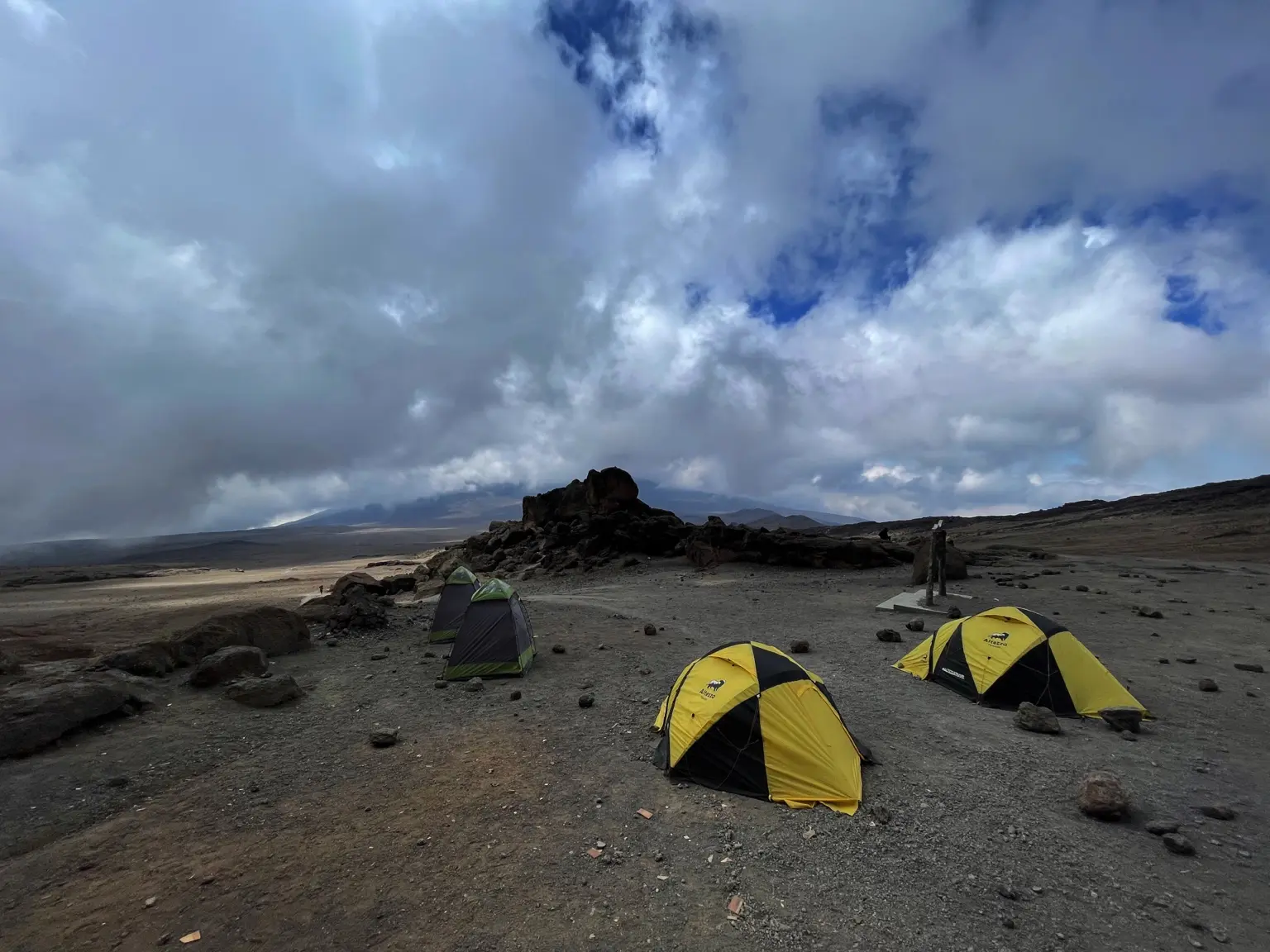
Field coda / Kilimanjaro
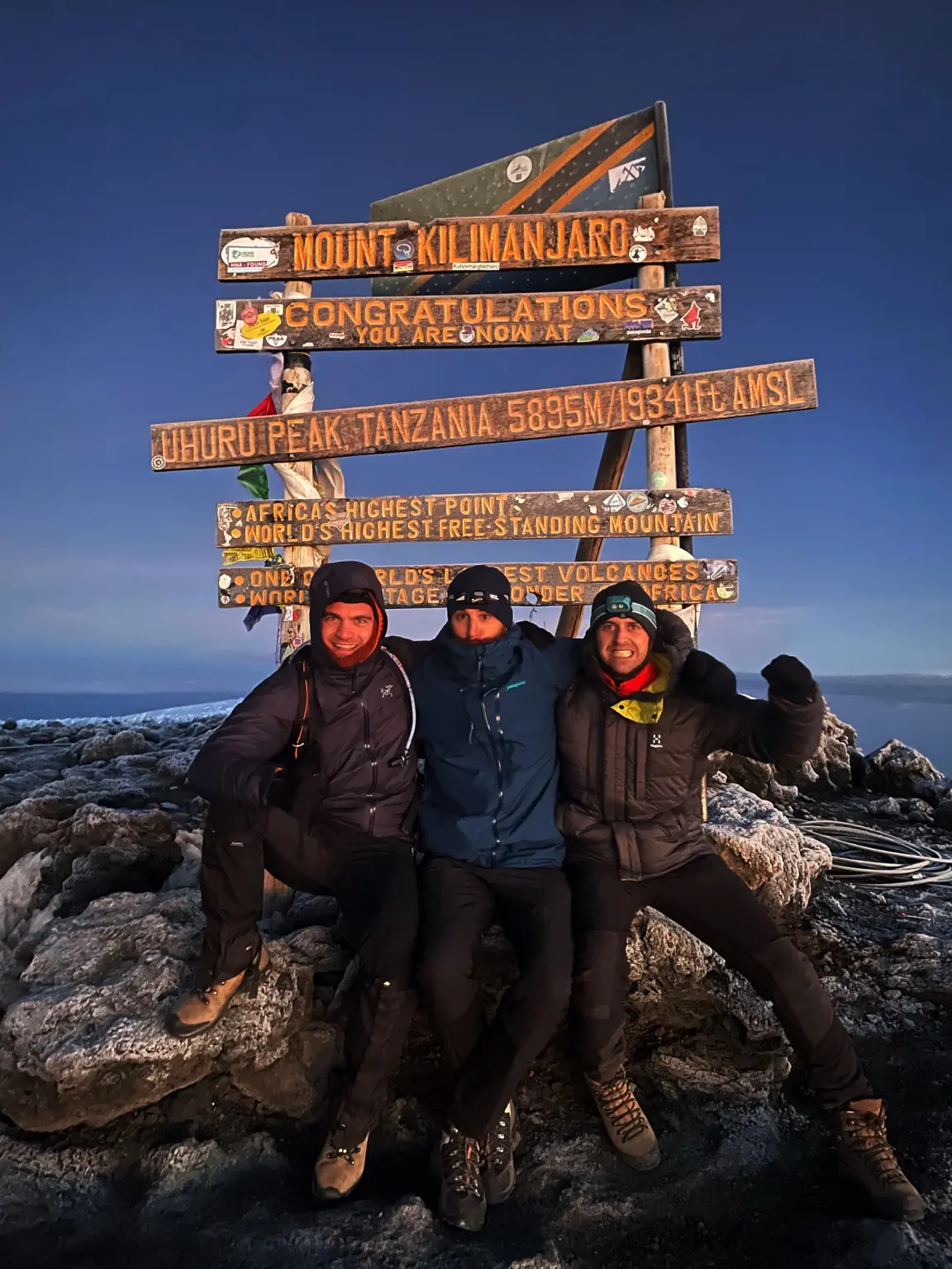


Expedition
Ayshe Rosso
Tommaso Bruno
Lake Natron, Tanzania
3–6 August 2026.
Photographic archive
Ayshe Rosso and Tommaso Bruno / The Field Witness Society
© 2026 The Field Witness Society.
Sources and editorial note
- [1] Ramsar Sites Information Service. Lake Natron Basin, site 1080.
- [2] NASA Earth Observatory. Lake Natron, Tanzania.
- [3] BirdLife International. Natron breeding ecology, 22 August 2025.
- [4] Sulle, Sinandei and Lembeka. Lake Natron. Territories of Life, 2021.
- [5] Natural Earth. Countries and lakes: locator map data.
- [6] Smithsonian Global Volcanism Program. Ol Doinyo Lengai: geological summary.
Sources accessed 16 September 2026. Coordinates refer to the Ramsar site.
Field dates and participants supplied by Tommaso Bruno. Photographs arranged as an editorial sequence.