
Field Note 002 / Afar, Ethiopia
Erta Ale Volcano
A night observation at the summit
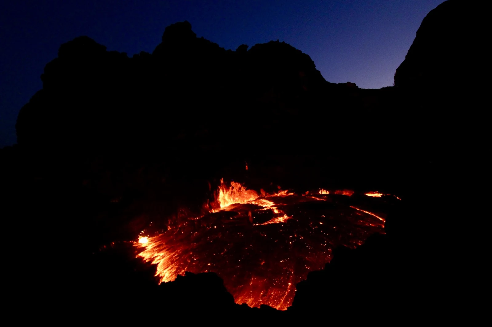
On 23 April 2025, I reached the summit of Erta Ale in Ethiopia’s Afar Region and observed active molten lava after dark from a position at 13°36′23″N 40°39′41″E.
Erta Ale is a basaltic shield volcano within the Afar Rift Volcanic Province. Its summit caldera contains steep-sided pit craters that have repeatedly hosted lava-lake activity.
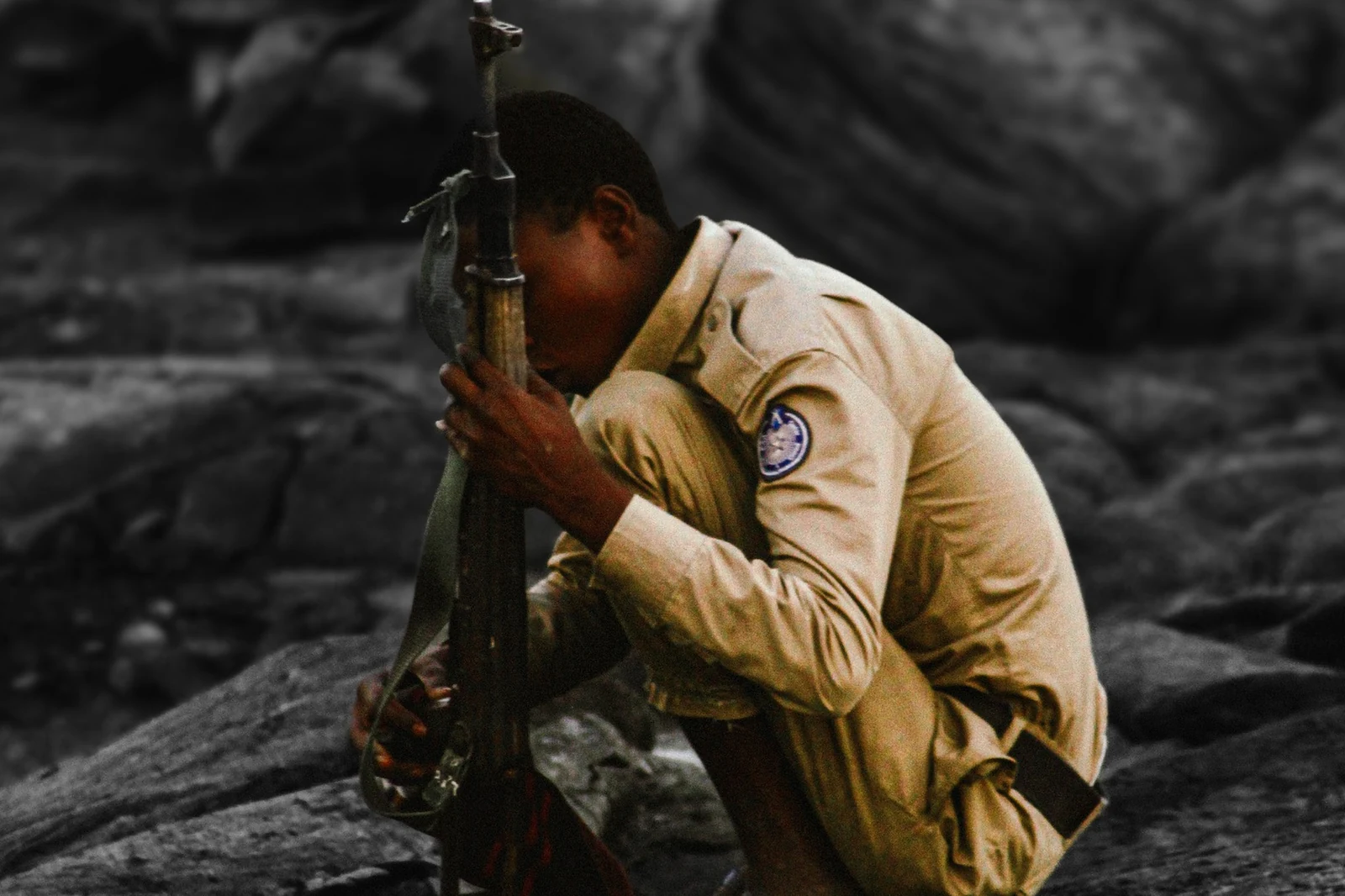
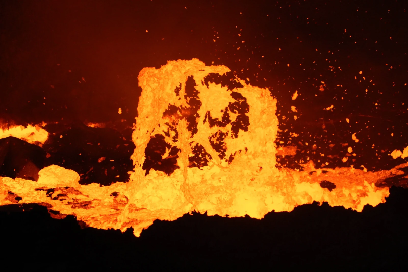
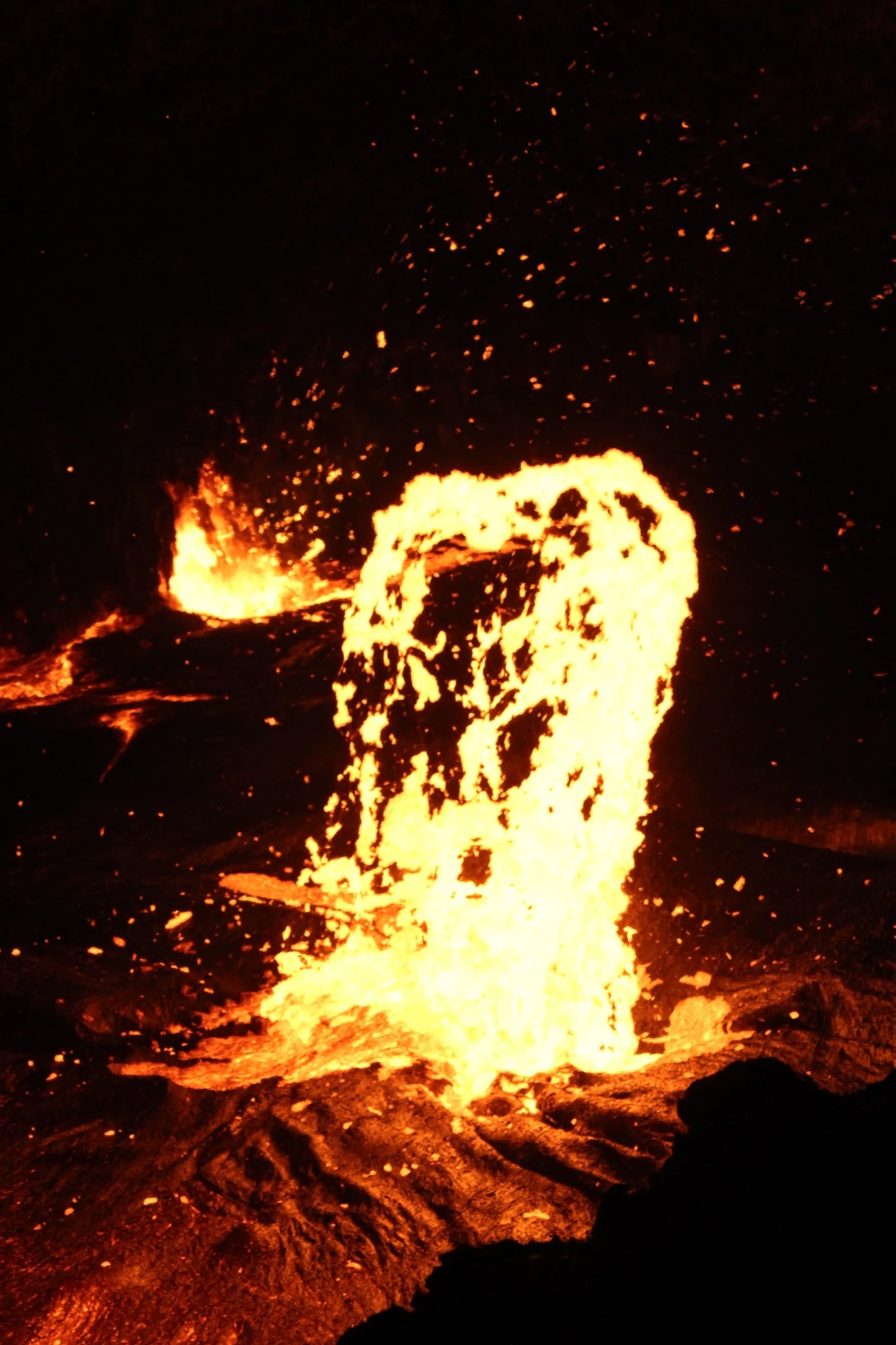
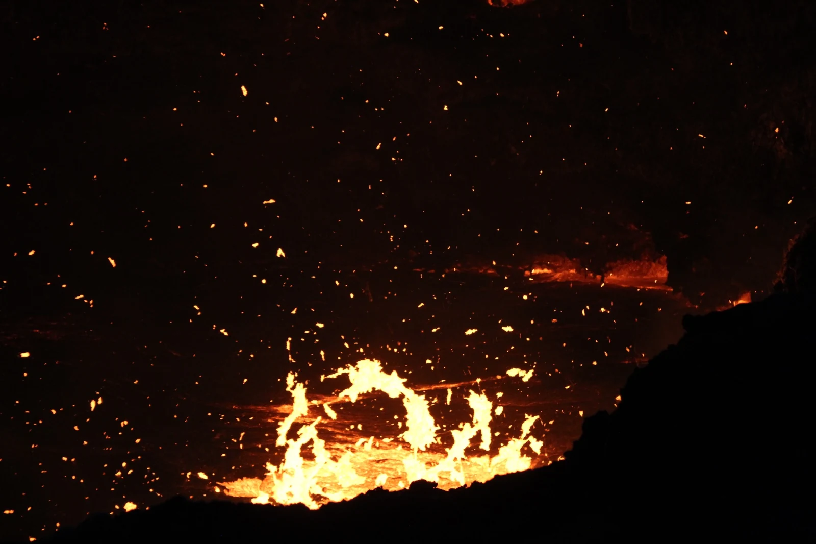
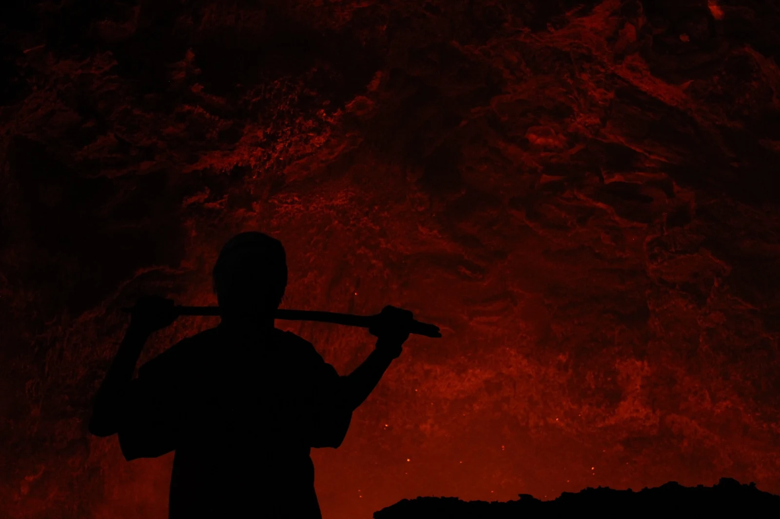
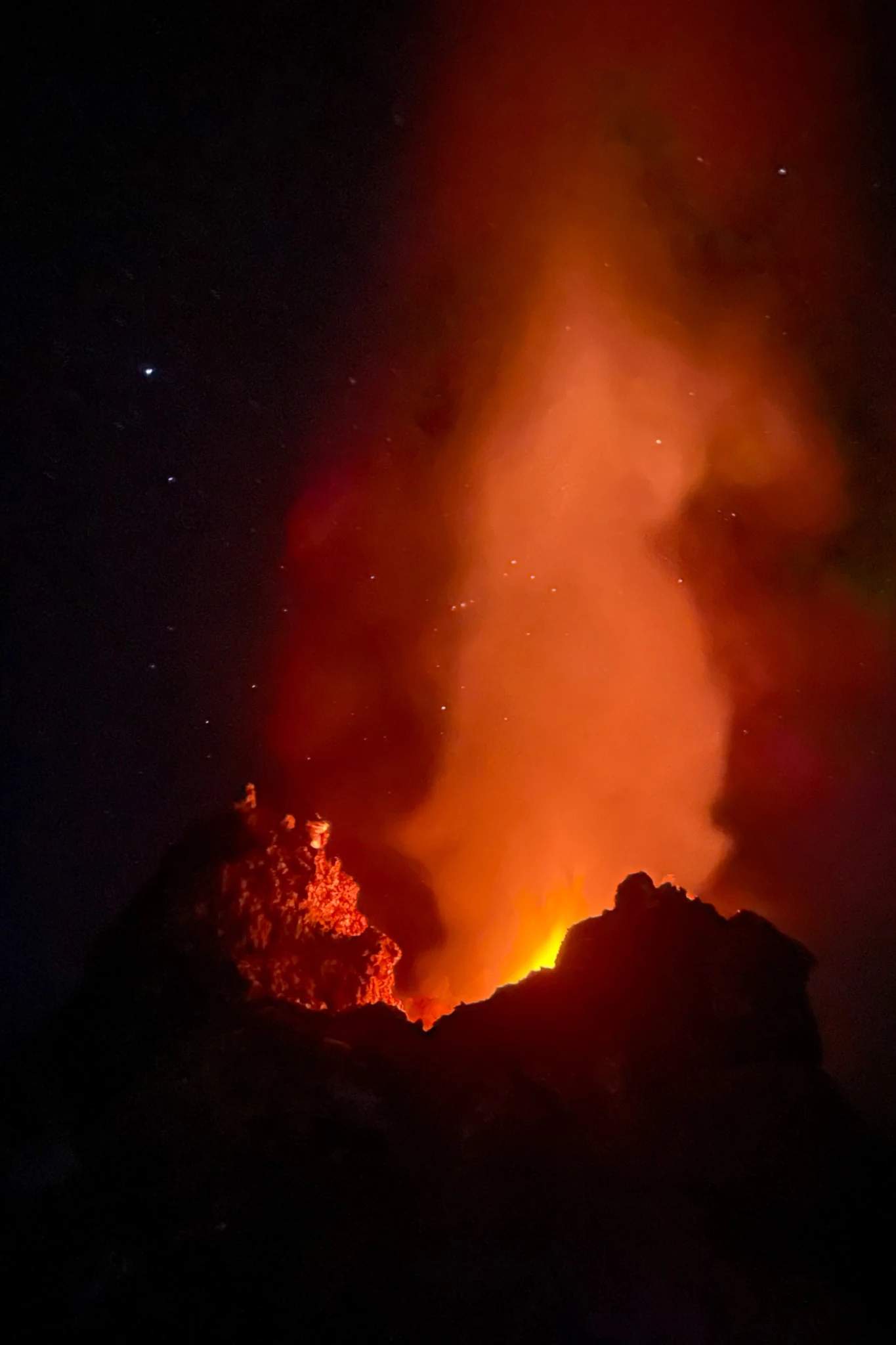
During the observation, dark crust opened and re-formed, molten material rose through the surface, and incandescent fragments were thrown into the air. Local militia were present as part of the access conditions. These photographs record one night at the summit. They do not attempt to describe the volcano in its entirety, but preserve what could be seen from one position during one short field observation.
The summit crater
Erta Ale lies in northern Afar, within the Afar Rift Volcanic Province. The broad basaltic shield rises from the Danakil Depression and contains an elongated summit caldera with steep-sided pit craters. Long-lived lava-lake activity has been documented at the volcano for decades, although its location and intensity change over time.
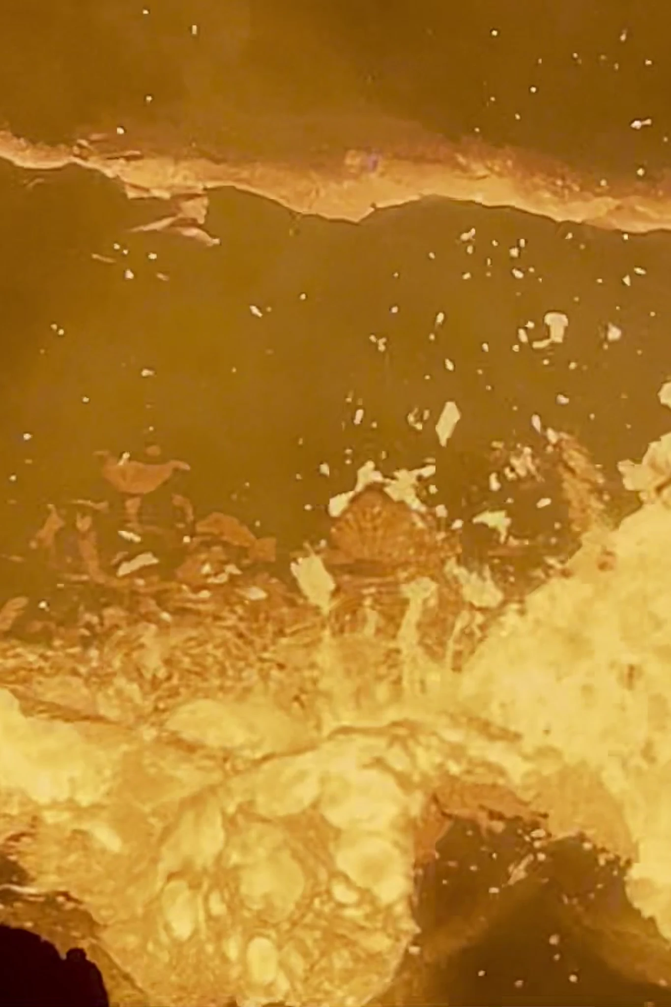
After dark, the wider summit became difficult to read. The active surface instead provided its own reference points: openings in the crust, reflected light on the crater walls and the changing boundary between darker rock and exposed molten material.
This Field Note records a single summit observation on 23 April 2025. It documents visible volcanic activity, human presence and immediate field conditions. It is not a geological survey and includes no thermal measurements, gas data, sampling or systematic crater mapping. The locator map provides regional orientation rather than a survey of the summit.
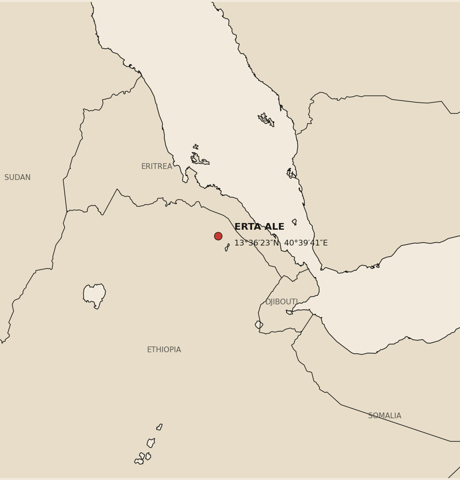
- Place
- Afar Region, Ethiopia
- Site
- Erta Ale summit
- Field date
- 23 April 2025
- Field position
- 13°36′23″N 40°39′41″E
- Access
- Local militia present
- Media
- Photography, video and field notes
Molten ground
At the crater
Night into morning
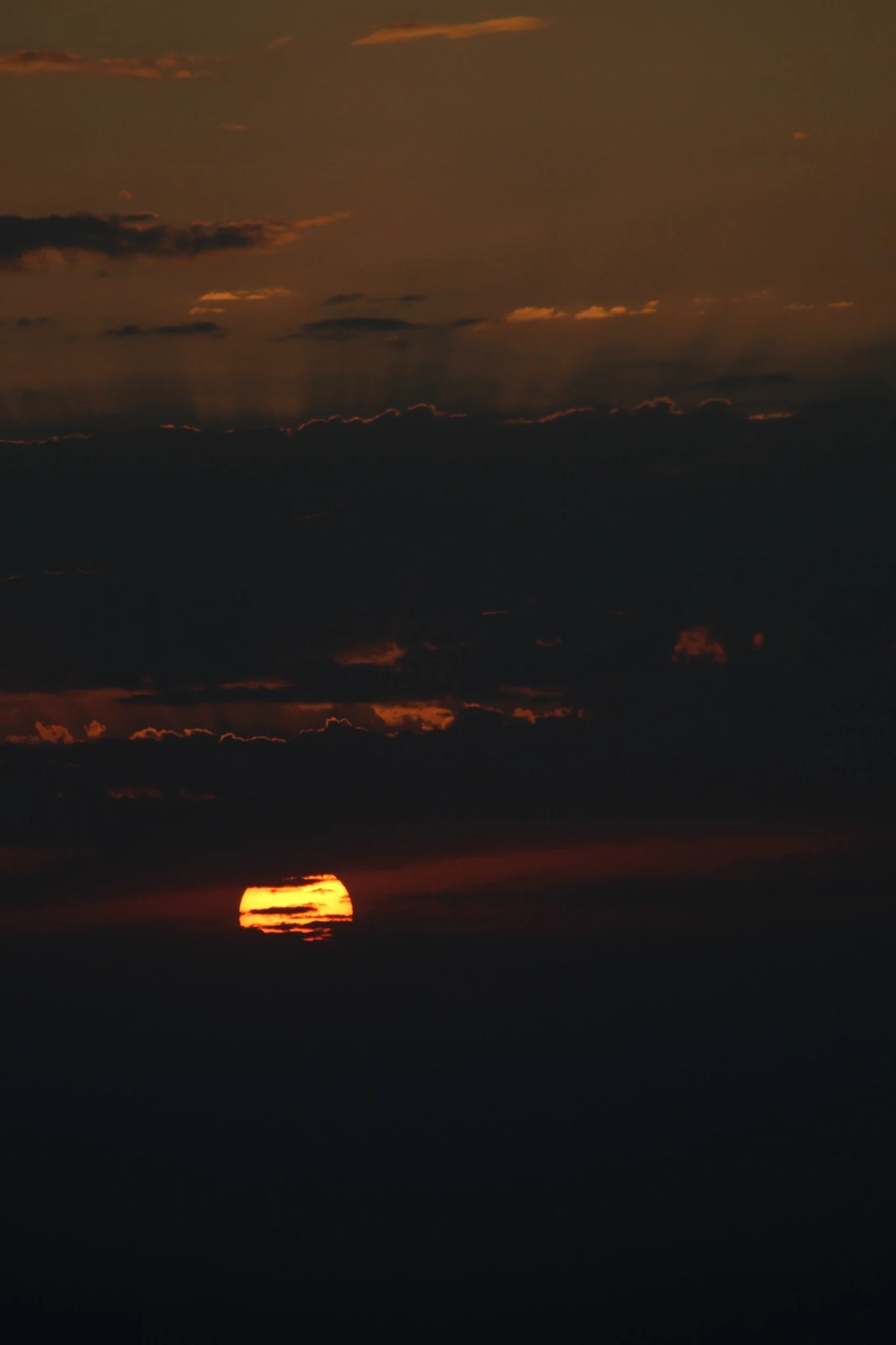
These photographs describe Erta Ale through the relationship between active material, darkness and human presence. At night, the volcano was read less as a complete landscape than as a sequence of temporary surfaces: crust forming and breaking, molten material rising beneath it, brief fountains, airborne fragments and reflected light across the surrounding rock. As morning approached, the horizon returned and the crater began to sit within a wider geography again.
Scope and limits
The record follows one observation made on 23 April 2025 from the recorded field position. It does not provide a complete account of activity across Erta Ale and includes no temperature measurements, gas observations, geological sampling or systematic mapping. Volcanic conditions change over time; these images should therefore be read as a dated record of what was visible during one field observation, not as a permanent description of the volcano.
Photography, video and field notes
Tommaso Bruno. Afar Region, Ethiopia, 23 April 2025.
© 2026 Tommaso Bruno. All rights reserved.
Sources
Geological context
- Smithsonian Institution, Global Volcanism Program — Erta Ale volcano profile
- Bulletin of the Global Volcanism Network — summit-caldera and lava-lake activity
Accessed 9 September 2026. Locator map based on recorded field coordinates; country boundaries generalized.