
Field Note 003 / Cotopaxi, Ecuador
Cotopaxi
The giant of ice and fire
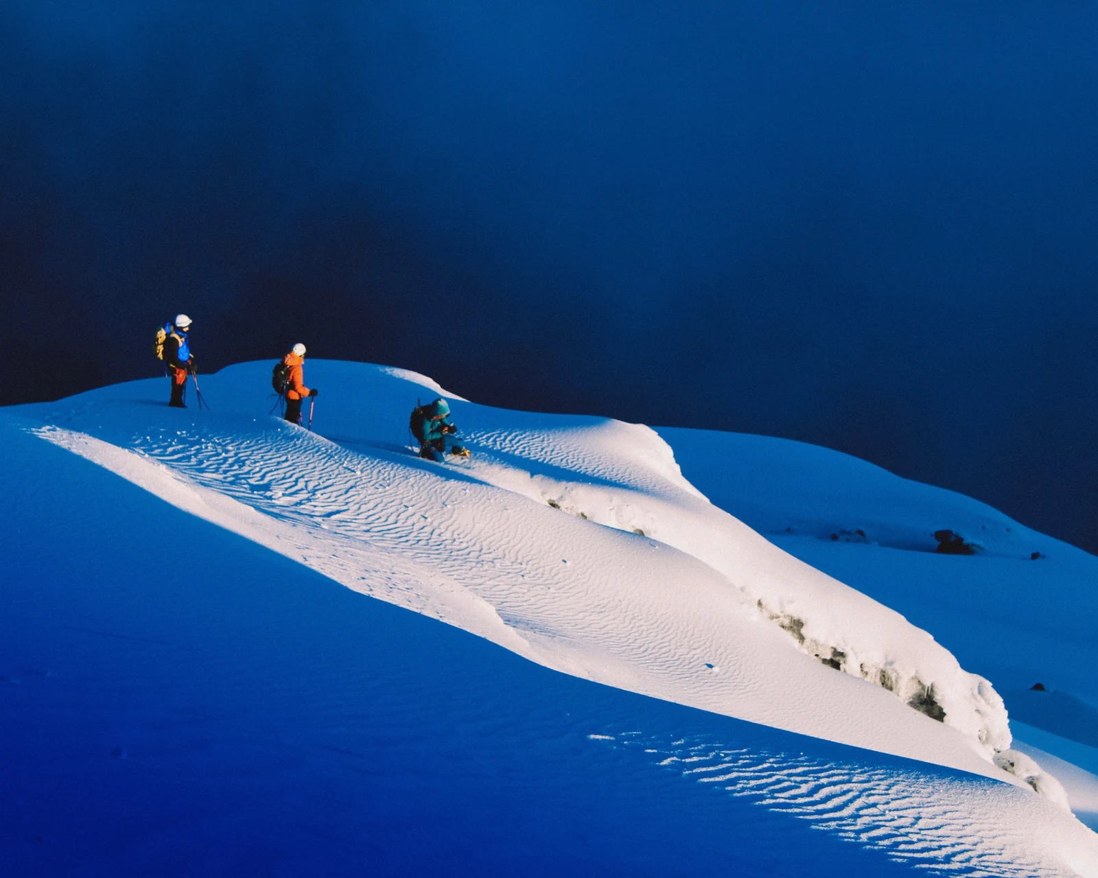
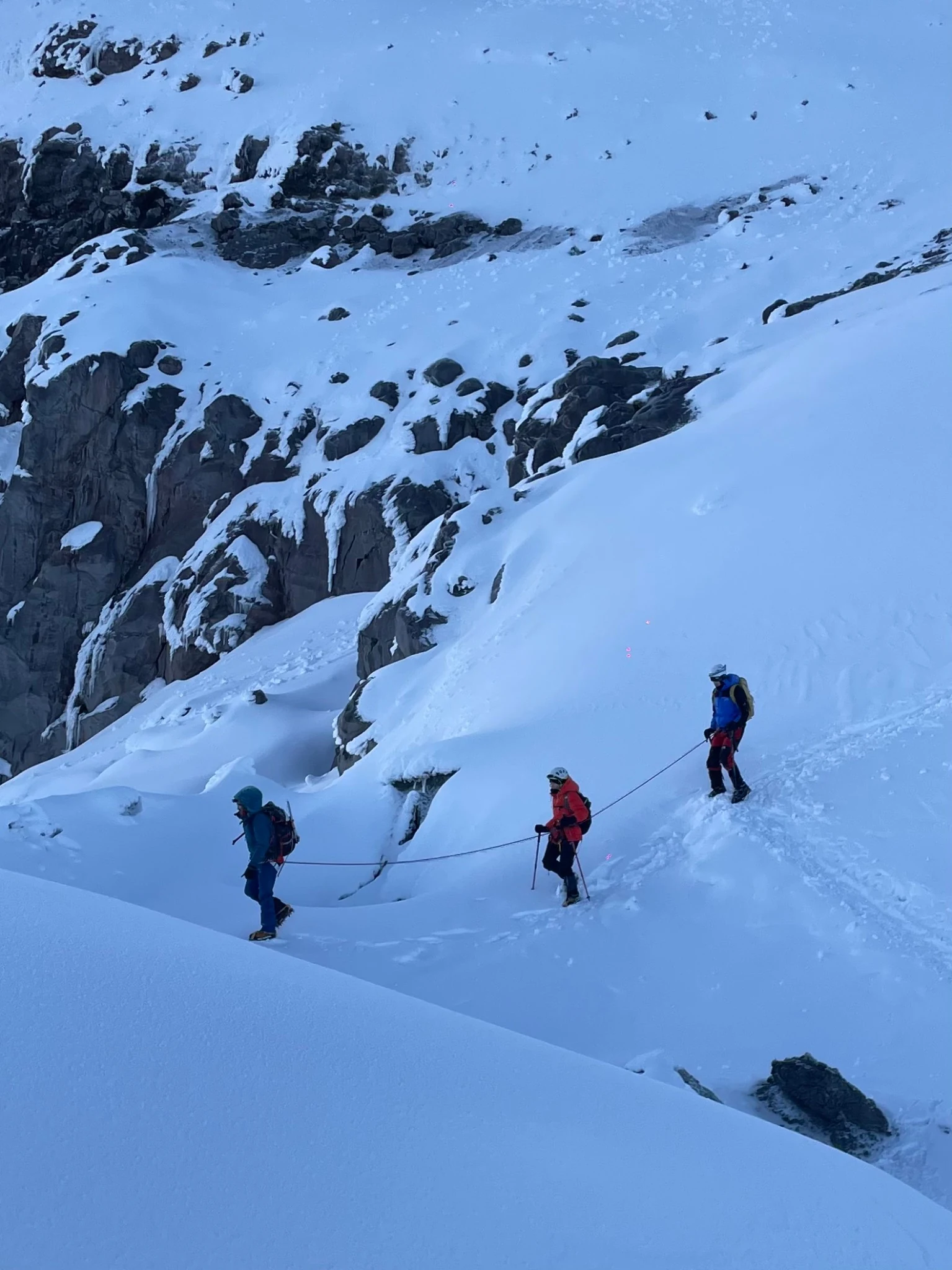
Three figures cross a ridge of snow. Their jackets register as small marks of colour against the blue, while the tracks behind them give the slope a human measure. Above the cloud, there is little in the frame to suggest how far the mountain extends below.
This is Cotopaxi, in Ecuador, during an expedition with Tommaso Bruno, Umberto Pernice and Marco Aza on 31 December 2024 and 1 January 2025. The dates put the journey on a familiar boundary. The photographs follow another: from volcanic rock to glacier, from the concentrated light of a headlamp to the broad light of morning.
The glacier and the volcano
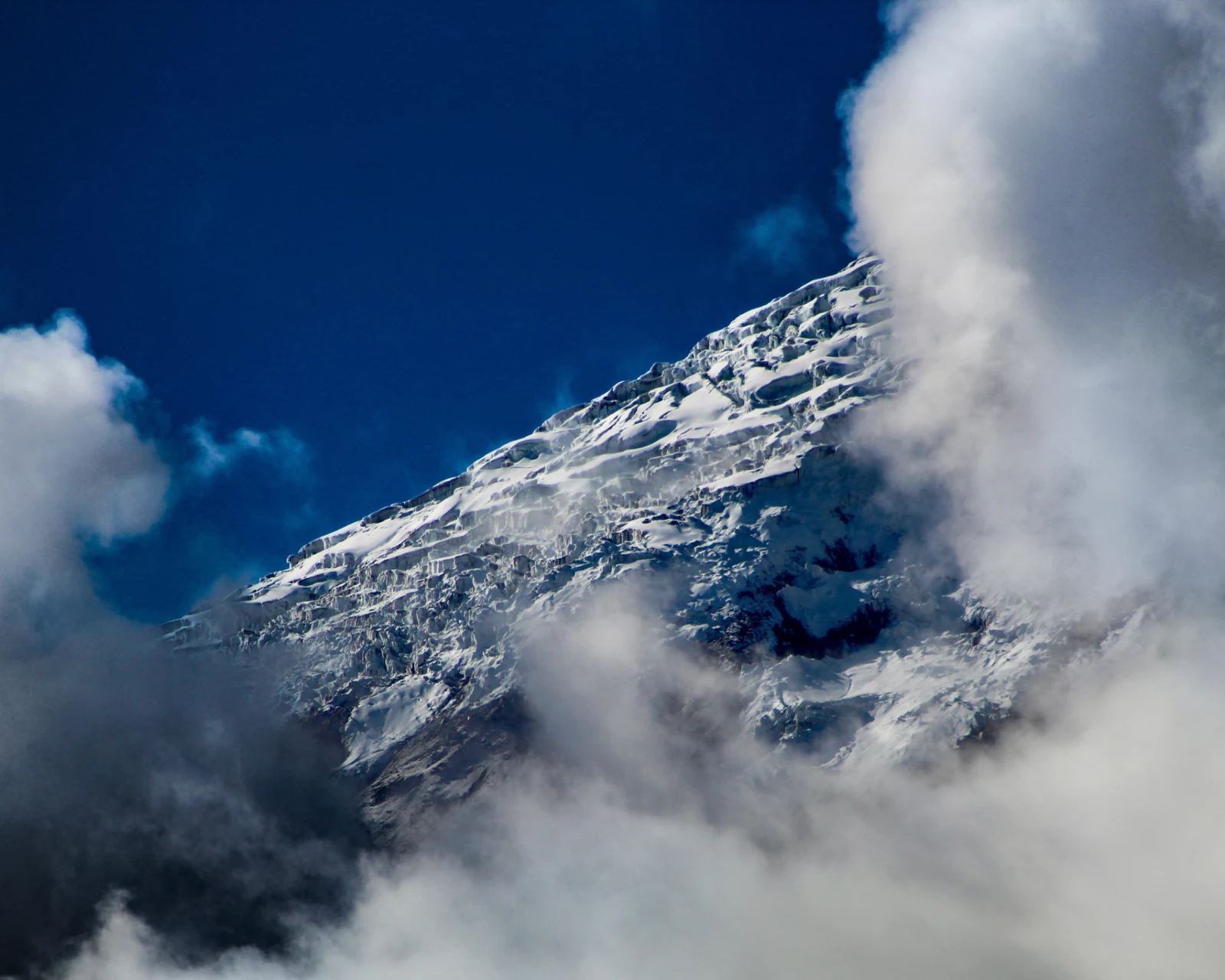
Cotopaxi rises to about 5,900 metres in Ecuador's Cordillera Real, southeast of Quito. It is an active stratovolcano, a steep cone carrying a glacier close to the equator. [1] Cloud hides and exposes the upper slopes. Where the white cover breaks, bands of dark rock become visible.
Ice and volcanic heat meet here in a physical sense. During major eruptions, hot material can melt glacier ice and generate lahars: flows of water, rock and debris that travel down the valleys. In 1877, such flows reached far beyond the mountain itself. [1, 2] The ice belongs to the volcano's history as much as the rock beneath it.
The expedition took place after the eruptive period of 2022-2023. [1, 2] That recent history gives the cold surface another depth. The snow in these photographs covers a mountain whose form has been built, and repeatedly altered, by volcanic activity.
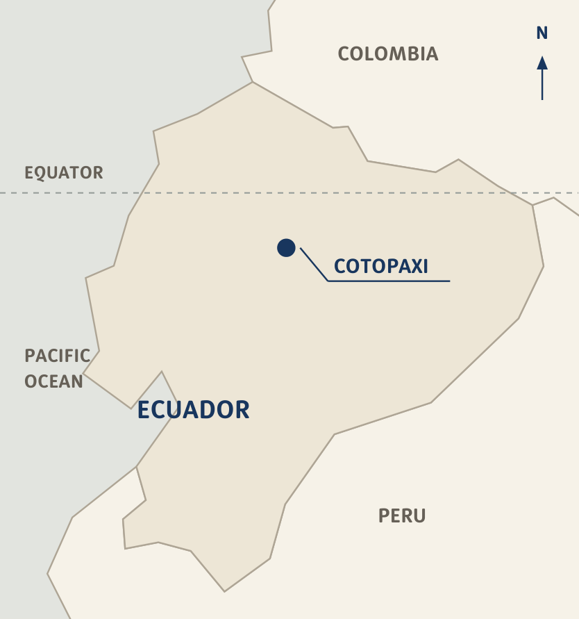
- Place
- Cotopaxi, Ecuador
- Field dates
- 31 December 2024 / 1 January 2025
- Mountain range
- Cordillera Real, Andes
- Reference elevation
- 5,897 m (IG-EPN) [1]
- Volcano position
- 0.683°S, 78.436°W [1]
- Record
- Photography / expedition
The hours before light
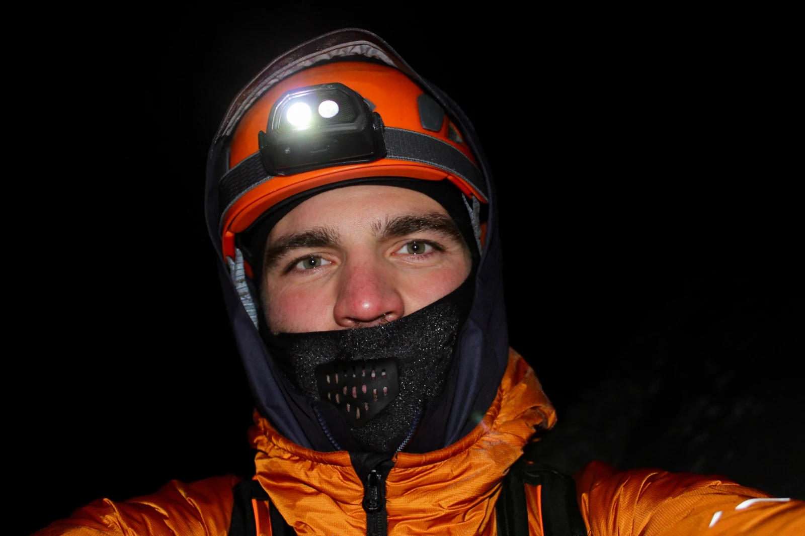
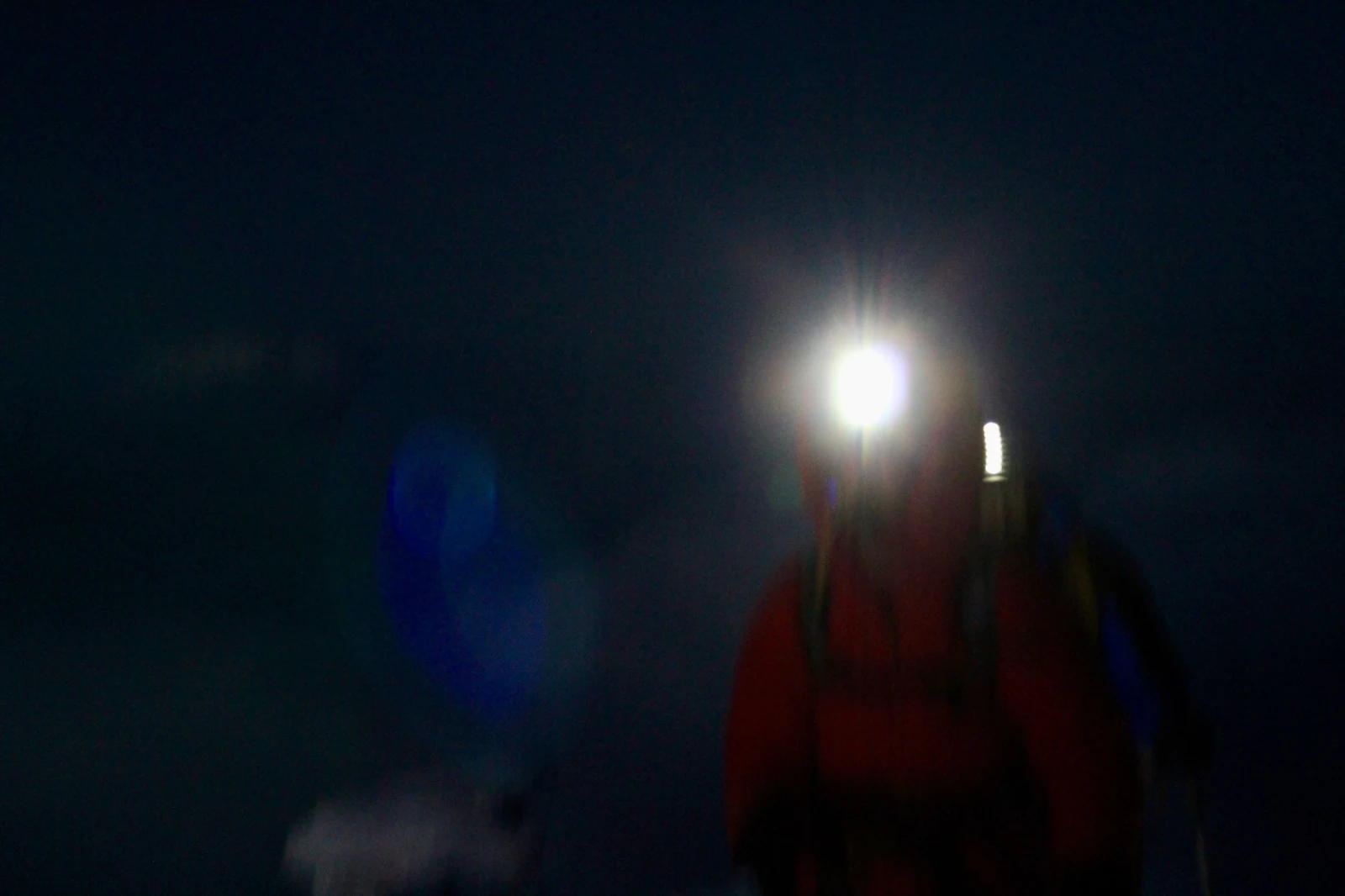
In the night photographs, the frame contracts around what the lamps can reach. A helmet, a face and the edge of a jacket stand out; the slope and the space beyond it fall away. One image keeps little more than a flare of white light and a blurred figure. Its uncertainty belongs to the sequence as much as the clarity of the later views.
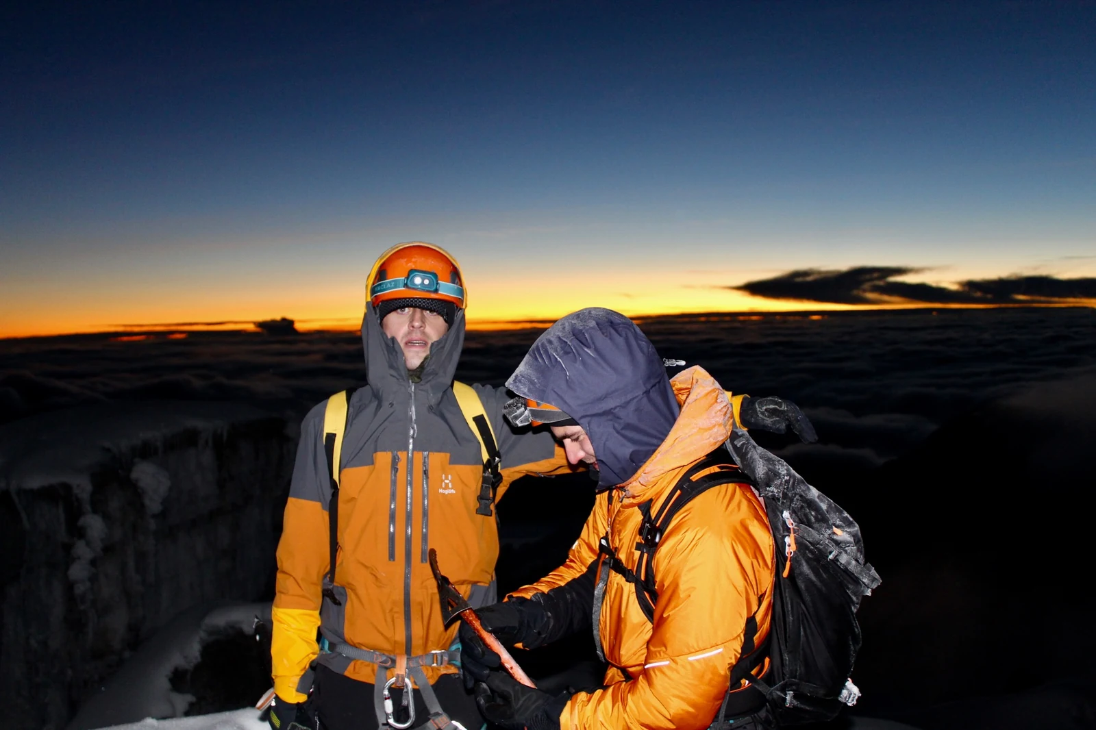
Then a thin orange band appears above the cloud. Two climbers fill the foreground, with rope, harnesses and layers of clothing visible against the returning horizon. The mountain begins to acquire distance again. Before the wide views, there are people close enough to the camera for a glance or a gesture to matter. The larger landscape arrives around them.
Reading the glacier
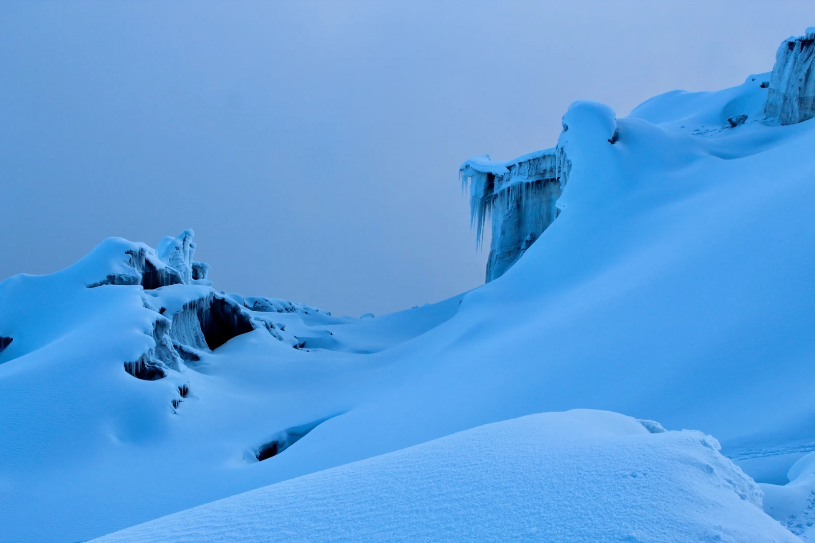
From below, the glacier can appear to be a single white surface. At closer range, it separates into ridges, openings and overhanging edges. Blue shadow gives depth to the hollows; snow rounds some forms and leaves others sharply exposed.
A photograph without people asks the eye to find its own measure. An ice wall may be near or far, modest or enormous. In the next frame, a rope team crosses below a band of rock, and the bodies restore a sense of distance. What looked like a surface becomes terrain.
The route through these photographs is visible in fragments. Footprints bend across a slope; a rope draws a fine line between figures; an opening interrupts the snow. The mountain's broad outline remains simple enough to recognise from afar, while every close view offers a different shape to read.
The scale of a person
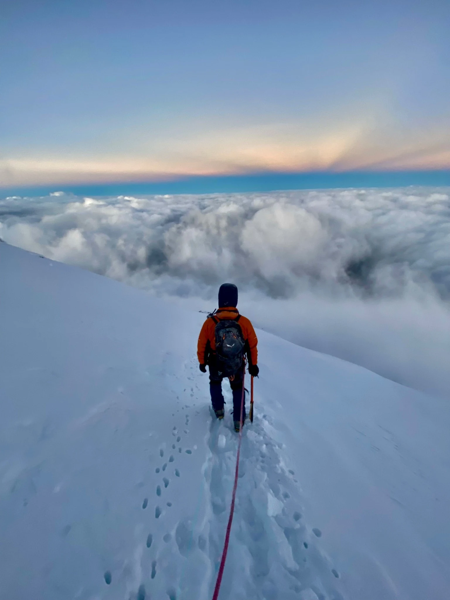
The strongest sense of height comes from what lies behind the climbers. In one frame, a person follows a narrow line of footprints above a bank of cloud. A rope runs back towards the camera, linking the figure to the place from which we are looking. The horizon is pale, the snow still blue.
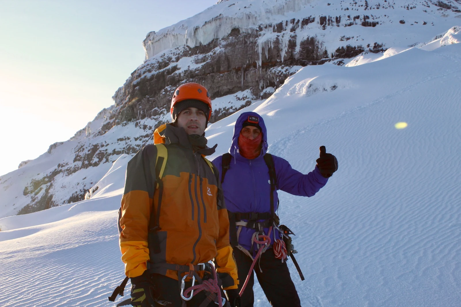
Elsewhere, two climbers stand together beneath a dark rock face edged with ice. Helmets, hoods, harnesses and gloves break up the white of the slope. These small, ordinary details keep the account close to the people who made the journey.
The mountain is immense, but the photographs keep returning to the distance between one person and another. A figure seen from behind, a face turned towards the lens, a raised hand: each gives the landscape a different point of reference. Together, they make a record of company as well as terrain.
Across the year
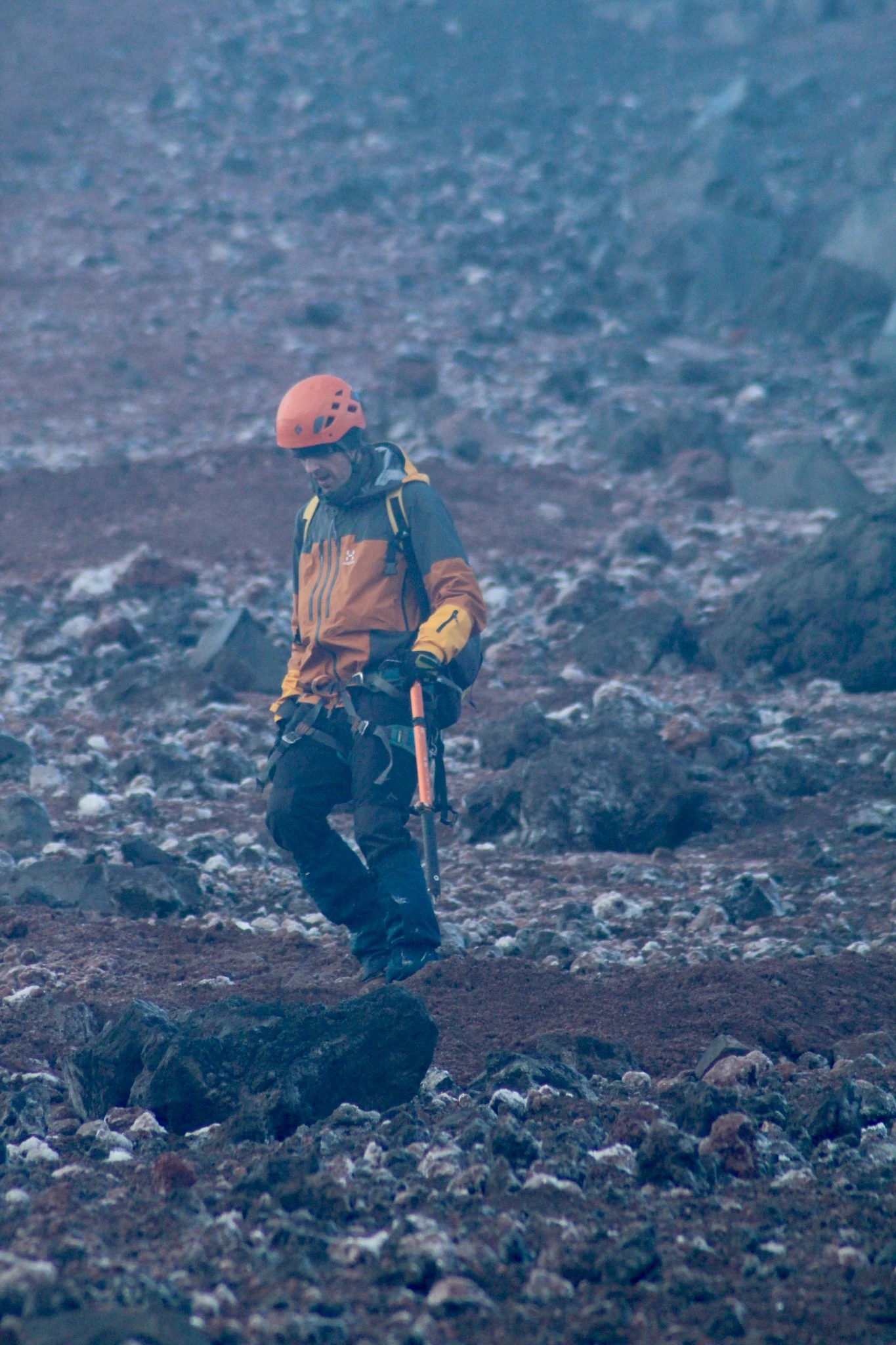
The sequence closes on exposed ground. A climber stands among loose rock, with the bright colour of a helmet carrying something of the glacier images into a different landscape. Snow has given way to a rough, broken surface.
An expedition that crosses New Year invites a story about beginnings. Here, the photographs offer a more particular record: faces in darkness, a horizon returning, a rope across snow, stone underfoot. They give the two dates a texture that the calendar cannot.
Cotopaxi holds the longer timescale. Its glacier and volcanic structure belong to processes that extend beyond any visit. The record of 31 December 2024 and 1 January 2025 stays close to a brief encounter: people moving through a mountain much larger than the view from any one position.
Expedition
Tommaso Bruno
Umberto Pernice
Marco Aza
Cotopaxi, Ecuador
31 December 2024 / 1 January 2025.
Photographic archive
Tommaso Bruno / The Field Witness Society
© 2026 The Field Witness Society.
Sources and editorial note
- [1] Instituto Geofísico, Escuela Politécnica Nacional. Cotopaxi: volcano profile, geographical reference data and eruptive history.
- [2] Smithsonian Institution, Global Volcanism Program. Cotopaxi, volcano 352050: geological summary and eruptive history.
- [3] Natural Earth. Admin 0 - Countries, 1:110m. Locator map base.
Sources accessed 15 September 2026. Elevation and coordinates are volcano reference data. The map locates the mountain.
Field dates and expedition participants supplied by Tommaso Bruno. Photographs arranged as an editorial sequence.